
Patate Canton, canton of Tungurahua province, Ecuador
Locatie: Tungurahua Province
Hoogte boven de zeespiegel: 2.254 m
Website: http://patate.gob.ec/home
GPS-coördinaten: -1.31667,-78.51667
Laatste update: 22 april 2025 om 14:15
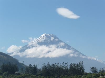
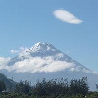
Chimborazo
37.3 km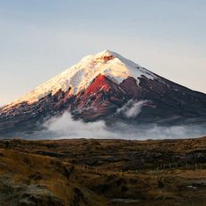
Cotopaxi
71.4 km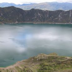
Quilotoa
67.1 km
Tungurahua
18.3 km
Nationaal park Cotopaxi
71 km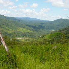
Nationaal park Sangay
61 km
Sangay
79.1 km
Nationaal park Llanganates
37.6 km
Antisana
101.6 km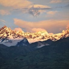
El Altar volcano
41.3 km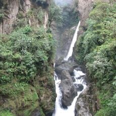
Cascada el Pailón del Diablo
26.4 km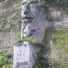
El poder brutal
107.3 km
Antisana National Park
97.5 km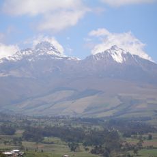
Illinizas Ecological Reserve
72.9 km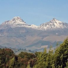
Illiniza volcano
77.7 km
El Chalupas
56 km
Chimborazo reservaat
42.3 km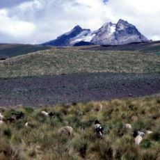
Carihuairazo volcano
28 km
Refugio de vida silvestre Pasochoa
96.2 km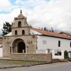
Iglesia de La Balbanera
52.9 km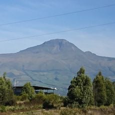
Corazón volcano
88.8 km
Rumiñahui
81.3 km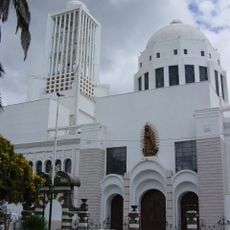
Cathedral Basilica of Our Lady of the Elevation
15 km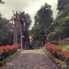
Atocha-La Liria Botanical Garden
14.2 km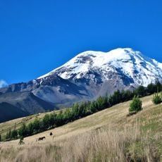
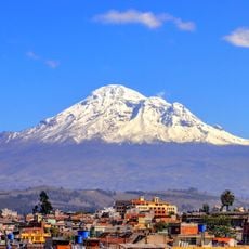
Chimborazo
36.3 km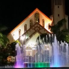
Our Lady of the Rosary Cathedral, Puyo
60.9 km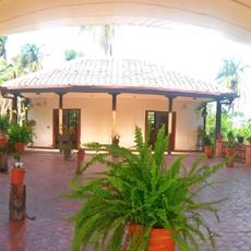
Martínez-Holguín House
15.3 km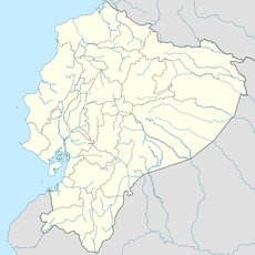
Mulatos River
66 kmHeeft u deze plek bezocht? Tik op de sterren om een beoordeling te geven en uw ervaring of foto's te delen met de community! Probeer het nu! U kunt het op elk moment annuleren.
Ontdek verborgen schatten op elk avontuur!
Van karakteristieke kleine cafeetjes tot geheime uitzichtpunten – ontvlucht de drukte en vind plekken die echt bij jou passen. Onze app maakt het makkelijk: spraakzoekopdrachten, slimme filters, geoptimaliseerde routes en authentieke tips van reizigers wereldwijd. Download nu en beleef het avontuur op je smartphone!

Een nieuwe benadering van toeristische ontdekking❞
— Le Figaro
Alle plekken die de moeite waard zijn om te ontdekken❞
— France Info
Een uitstapje op maat in slechts een paar klikken❞
— 20 Minutes