
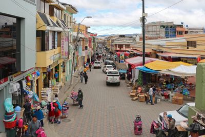
Cañar, City and urban parish of Cañar Province in Ecuador
Locatie: Cañar Province
Locatie: Cañar Canton
Hoogte boven de zeespiegel: 3.131 m
GPS-coördinaten: -2.56056,-78.93944
Laatste update: 3 maart 2025 om 03:18
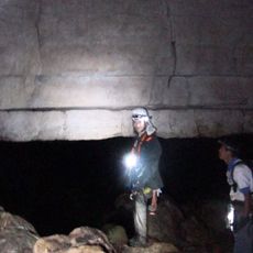
Cueva de los Tayos
98.2 km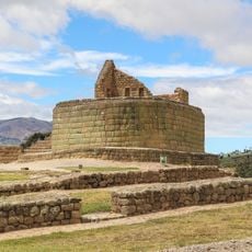
Ingapirca
7.7 km
Nationaal park Cajas
44.6 km
New Cathedral of Cuenca
38.2 km
Sangay
90.8 km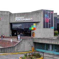
Pumapungo-museum
39 km
Churute Mangroves Ecological Reserve
89.6 km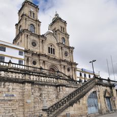
Shrine of the Virgin of the Cloud
22.9 km
Historisch centrum van Cuenca
38.3 km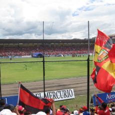
Estadio Alejandro Serrano Aguilar
39.3 km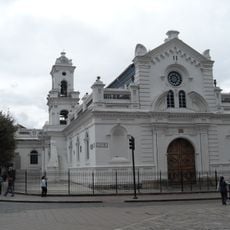
Old Cathedral of Cuenca
38.2 km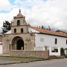
Iglesia de La Balbanera
95.2 km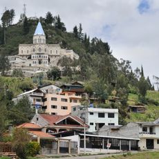
Sanctuary of the Blessed Virgin of Rocio
18.7 km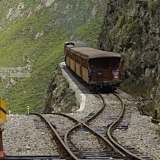
Nariz del Diablo
36 km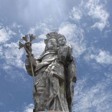
Our Lady of the Cloud Monument
21.5 km
Cerro Cojitambo
23 km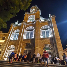
Cathedral of Azogues
22.3 km
Museum Remigio Crespo Toral
38.7 km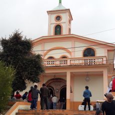
Santuario Católico del Señor de los Milagros de Andacocha
35.7 km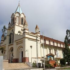
Santuario Diocesano Católico del Señor de Burgos de Borma
29.5 km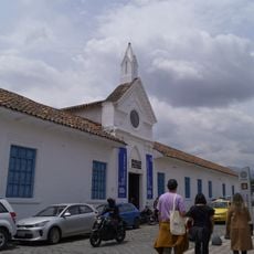
Museo Municipal de Arte Moderno
38.2 km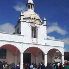
Santuario Católico Eucarístico Diocesano San Antonio
732 m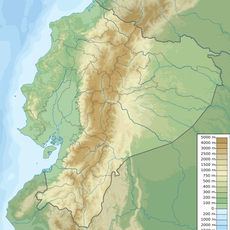
Cañar River
92.5 km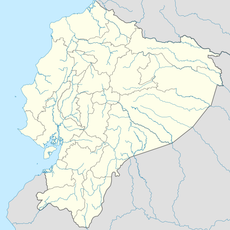
Negro River
73.5 km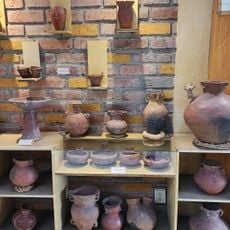
Museum of Aboriginal Cultures
38.7 km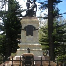
Monument to Abdón Calderón
38.2 km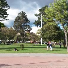
Parque de la Madre
38.9 km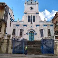
Iglesia de San José del Vecino
37.4 kmHeeft u deze plek bezocht? Tik op de sterren om een beoordeling te geven en uw ervaring of foto's te delen met de community! Probeer het nu! U kunt het op elk moment annuleren.
Ontdek verborgen schatten op elk avontuur!
Van karakteristieke kleine cafeetjes tot geheime uitzichtpunten – ontvlucht de drukte en vind plekken die echt bij jou passen. Onze app maakt het makkelijk: spraakzoekopdrachten, slimme filters, geoptimaliseerde routes en authentieke tips van reizigers wereldwijd. Download nu en beleef het avontuur op je smartphone!

Een nieuwe benadering van toeristische ontdekking❞
— Le Figaro
Alle plekken die de moeite waard zijn om te ontdekken❞
— France Info
Een uitstapje op maat in slechts een paar klikken❞
— 20 Minutes