
Alcantara, gemeente in de Filipijnse provincie Romblon
Locatie: Romblon
Ontstaan: 21 maart 1961
Hoogte boven de zeespiegel: 32 m
Grenst aan: Odiongan, Looc, Santa Maria, Santa Fe
GPS-coördinaten: 12.25840,122.05427
Laatste update: 13 maart 2025 om 03:21
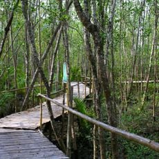
Bakhawan Eco-Park
70.1 km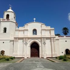
Kalibo Cathedral
69.7 km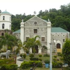
Romblon Cathedral
42.4 km
Northwest Panay Peninsula Natural Park
48.7 km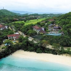
Fairways and Bluewater Boracay
34.3 km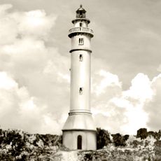
Maniguin Island lighthouse
83.2 km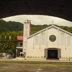
San Nicolas de Tolentino Parish Church
76.8 km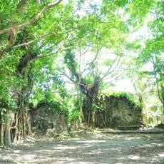
Kuta Church Ruins
78.1 km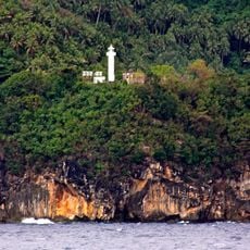
Gorda Point Lighthouse
45.9 km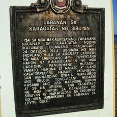
Battle of the Sibuyan Sea historical marker
475 m
Sampaguita Gardens
79.8 km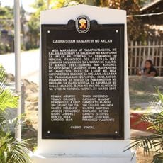
Nineteen Martyrs of Aklan historical marker
70.3 km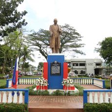
Jose Cortes Altavas historical marker
93 km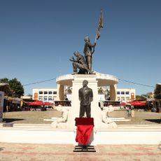
Goding Ramos Park
71.2 km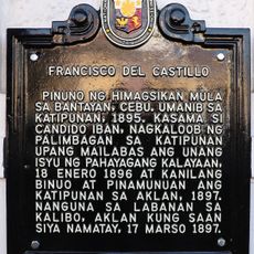
Francisco del Castillo historical marker
69.8 km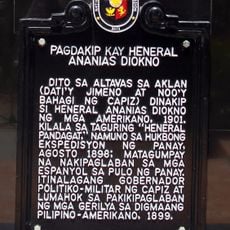
Capture of General Ananias Diokno historical marker
90.9 km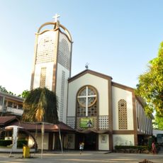
Saint Joseph Parish Church
82.4 km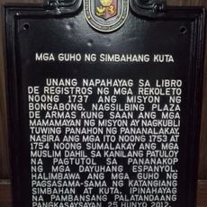
Ruins of Kuta Church historical marker
78.4 km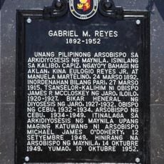
Gabriel M. Reyes historical marker
69.7 km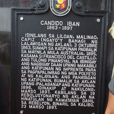
Candido Iban historical marker
71.4 km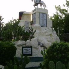
Aklan Freedom Shrine
70.3 km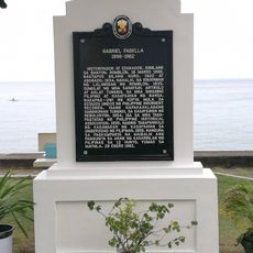
Gabriel Fabella historical marker
76.7 km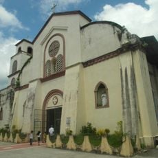
Malinao Church
73.7 km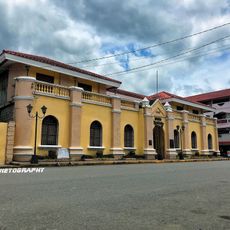
Aklan Museum
69.8 km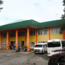
Bongabong Municipal Hall
82.1 km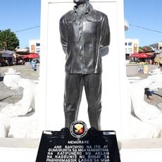
Memorare historical marker (heroes of Aklan)
71.2 km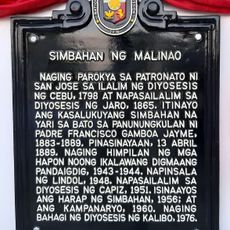
Church of Malinao historical marker
73.8 km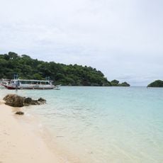
Ilig Iligan Beach
32.6 kmBeoordelingen
Heeft u deze plek bezocht? Tik op de sterren om een beoordeling te geven en uw ervaring of foto's te delen met de community! Probeer het nu! U kunt het op elk moment annuleren.
Ontdek verborgen schatten op elk avontuur!
Van karakteristieke kleine cafeetjes tot geheime uitzichtpunten – ontvlucht de drukte en vind plekken die echt bij jou passen. Onze app maakt het makkelijk: spraakzoekopdrachten, slimme filters, geoptimaliseerde routes en authentieke tips van reizigers wereldwijd. Download nu en beleef het avontuur op je smartphone!

Een nieuwe benadering van toeristische ontdekking❞
— Le Figaro
Alle plekken die de moeite waard zijn om te ontdekken❞
— France Info
Een uitstapje op maat in slechts een paar klikken❞
— 20 Minutes