
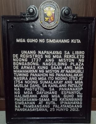
Ruins of Kuta Church historical marker
Ruins of Kuta Church historical marker, NHCP historical marker for the Ruins of Kuta Church
Locatie: Bongabong
Ontstaan: 8 mei 2013
Maker: National Historical Commission of the Philippines
Adres: Sitio Kuta, Brgy. Anilao
GPS-coördinaten: 12.72328,121.51229
Laatste update: 8 maart 2025 om 00:16
Mounts Iglit-Baco National Park
37.6 km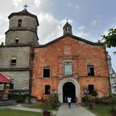
Boac Cathedral
88.3 km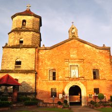
Bisdom Boac
88.3 km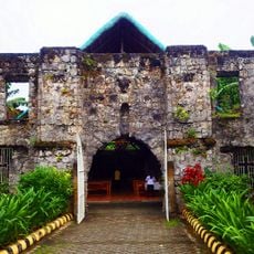
Simbahang Bato
65.5 km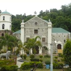
Romblon Cathedral
83.9 km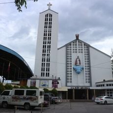
Santo Niño Cathedral
85 km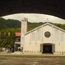
San Nicolas de Tolentino Parish Church
68 km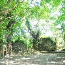
Kuta Church Ruins
330 m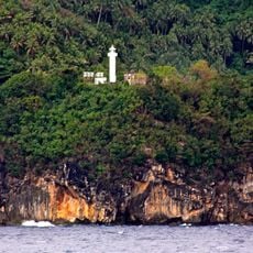
Gorda Point Lighthouse
70 km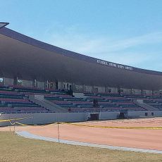
Occidental Mindoro Sports Complex
63.3 km
Marinduque Wildlife Sanctuary
90.6 km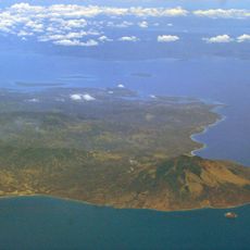
Islas de los Tres Reyes
68.2 km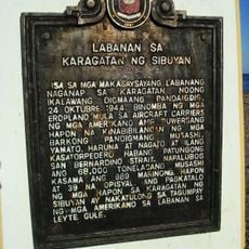
Battle of the Sibuyan Sea historical marker
78.4 km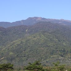
Mount Halcon
82.1 km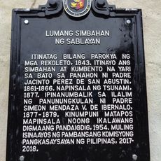
Old Church of Sablayan historical marker
81.7 km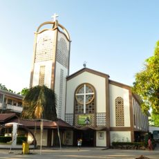
Saint Joseph Parish Church
4 km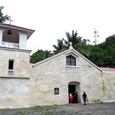
Old Sablayan Church
81.7 km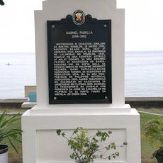
Gabriel Fabella historical marker
68 km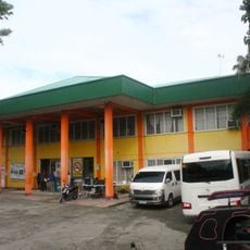
Bongabong Municipal Hall
3.7 km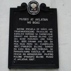
Museum and Library of Boac historical marker
88.1 km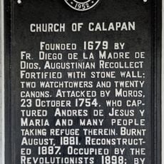
Church of Calapan historical marker
85 km
Noble Home of Captain Piroco historical marker
88.2 km
Ilig Iligan Beach
92.7 km
Port of Poctoy
61.5 km
House of Pedro Lardizabal
88.2 km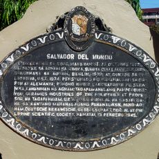
Salvador del Mundo historical marker
88.1 km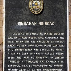
Church of Boac historical marker
88.3 km
Talisay Beach
62.1 kmHeeft u deze plek bezocht? Tik op de sterren om een beoordeling te geven en uw ervaring of foto's te delen met de community! Probeer het nu! U kunt het op elk moment annuleren.
Ontdek verborgen schatten op elk avontuur!
Van karakteristieke kleine cafeetjes tot geheime uitzichtpunten – ontvlucht de drukte en vind plekken die echt bij jou passen. Onze app maakt het makkelijk: spraakzoekopdrachten, slimme filters, geoptimaliseerde routes en authentieke tips van reizigers wereldwijd. Download nu en beleef het avontuur op je smartphone!

Een nieuwe benadering van toeristische ontdekking❞
— Le Figaro
Alle plekken die de moeite waard zijn om te ontdekken❞
— France Info
Een uitstapje op maat in slechts een paar klikken❞
— 20 Minutes