Utena, stad in Litouwen
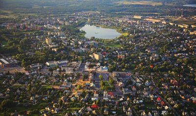
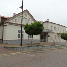
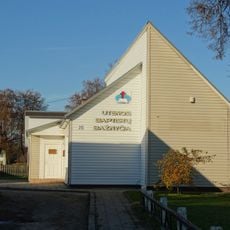
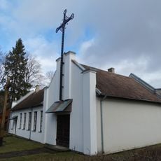
Utena is een stad in de gelijknamige districtsmunicipality in het oosten van Litouwen. Het heeft een compact centrum met lokale winkels, diensten en openbare ruimten die voorzien in de dagelijkse behoeften van de gemeenschap.
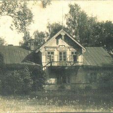
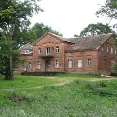
De stad groeide van een landbouwgemeenschap naar een regionaal centrum tijdens de Sovjet-periode toen industrie en infrastructuur werden uitgebreid. Na de onafhankelijkheid van Litouwen paste het zich aan aan nieuwe economische en maatschappelijke veranderingen in de regio.
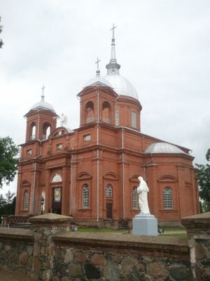
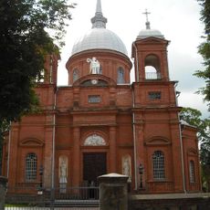
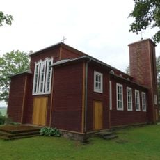
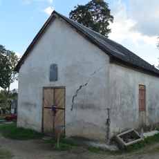
De naam heeft Baltische wortels die verbonden zijn aan het lokale landschap en het verleden van de regio. Bewoners verzamelen zich regelmatig op openbare plaatsen voor markten en gemeenschapsgebeurtenissen die het dagelijks leven bepalen.
De stad is bereikbaar met openbaar vervoer en wegen, met beperkte parkeerplaatsen in het centrum waarvoor wat wandelen nodig is. De meeste plaatsen zijn te voet bereikbaar als je eenmaal in het hoofdgebied bent.
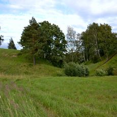
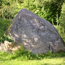
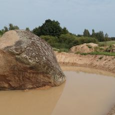
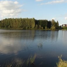
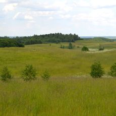
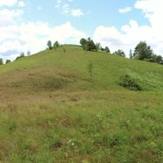
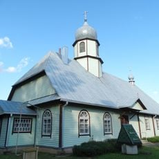
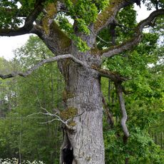
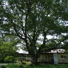
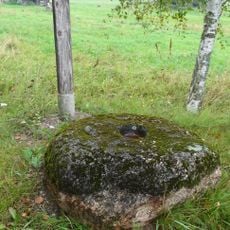
De stad ligt in een gebied omgeven door uitgebreide bossen die de lokale omgeving vormgeven en buitenmogelijkheden bieden. Deze bosrijke omgeving onderscheidt het van grotere stadscentra in Litouwen.
De community van nieuwsgierige reizigers
AroundUs brengt duizenden geselecteerde plaatsen, lokale tips en verborgen pareltjes samen, dagelijks verrijkt door meer dan 60,000 bijdragers wereldwijd.