
Aboriginal Shire of Hope Vale, local government area of Queensland, Australia
Locatie: Queensland
Ontstaan: 1986
Hoofdstad: Hope Vale
Hoogte boven de zeespiegel: 21 m
GPS-coördinaten: -15.29610,145.11200
Laatste update: 7 april 2025 om 12:48
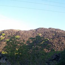
Kalkajaka National Park
42.9 km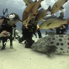
Cod Hole
92 km
Juunju Daarrba Nhirrpan National Park (Cape York Peninsula Aboriginal Land)
39.8 km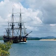
Endeavour River National Park
19.8 km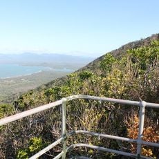
Mount Cook National Park
27 km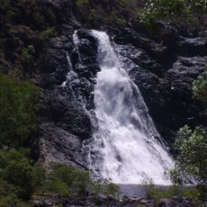
Bloomfield Falls
77.1 km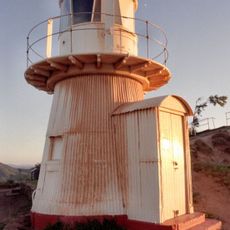
Grassy Hill Light
23.9 km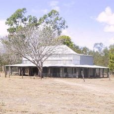
Old Laura Homestead
70.9 km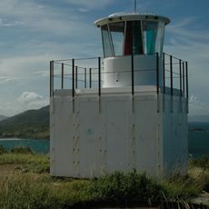
Archer Point Light
40.5 km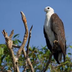
Turtle Group National Park
63.1 km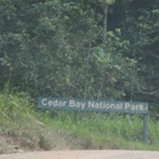
Ngalba Bulal National Park
69.2 km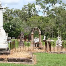
Cooktown Cemetery
24.3 km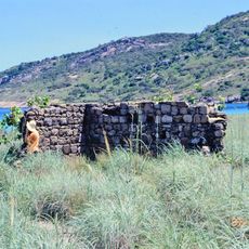
Mrs Watson's Cottage
79.5 km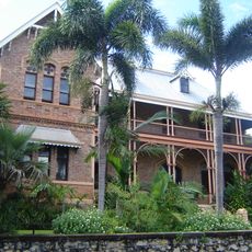
James Cook Historical Museum
24.3 km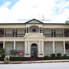
Westpac Bank Building, Cooktown
24.1 km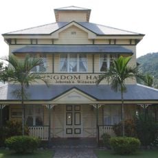
Old Cooktown Hospital
25.4 km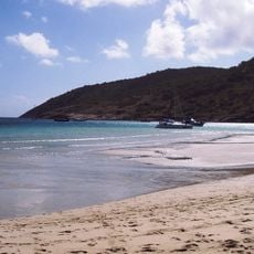
Lizard Island National Park
79.6 km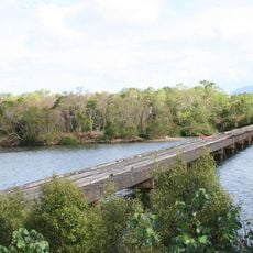
Annan River Bridge
28 km
Seagren's Building
24.1 km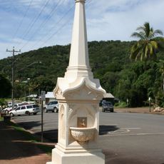
Mary Watson's Monument
24 km
Ferrari Estates Building
24.1 km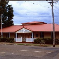
Cook Shire Council Chambers
24 km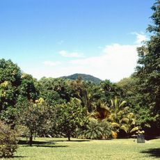
Gallop Botanic Reserve
25 km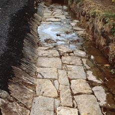
Early Granite Kerbing and Channelling, Cooktown
24.3 km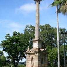
Cooks Monument and Reserve
23.8 km
Cook Shire Hall
24.4 km
Cooktown Powder Magazine
23.6 km
Cooktown Museum
24.3 kmHeeft u deze plek bezocht? Tik op de sterren om een beoordeling te geven en uw ervaring of foto's te delen met de community! Probeer het nu! U kunt het op elk moment annuleren.
Ontdek verborgen schatten op elk avontuur!
Van karakteristieke kleine cafeetjes tot geheime uitzichtpunten – ontvlucht de drukte en vind plekken die echt bij jou passen. Onze app maakt het makkelijk: spraakzoekopdrachten, slimme filters, geoptimaliseerde routes en authentieke tips van reizigers wereldwijd. Download nu en beleef het avontuur op je smartphone!

Een nieuwe benadering van toeristische ontdekking❞
— Le Figaro
Alle plekken die de moeite waard zijn om te ontdekken❞
— France Info
Een uitstapje op maat in slechts een paar klikken❞
— 20 Minutes