
Berrigal, locality in New South Wales, Australia
Locatie: Moree Plains Shire Council
GPS-coördinaten: -29.95680,150.13460
Laatste update: 18 april 2025 om 18:04
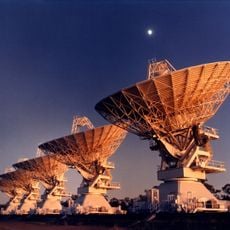
Australia Telescope Compact Array
68.8 km
Mount Kaputar National Park
39 km
Keepit Dam
108.8 km
Myall Creek Massacre and Memorial Site
59.4 km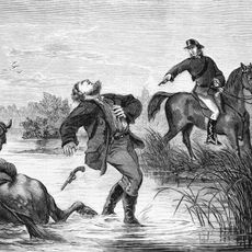
Captain Thunderbolt's death site
150.1 km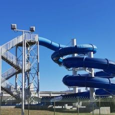
Moree Baths and Swimming Pool
60.5 km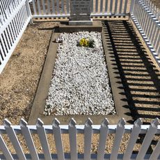
Captain Thunderbolt's Grave
151.2 km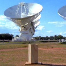
Paul Wild Observatory
68 km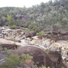
Kwiambal National Park
125.8 km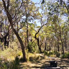
Kings Plains National Park
125.8 km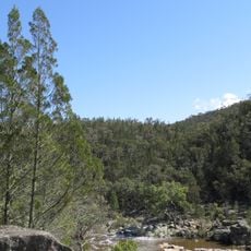
Warrabah National Park
102.8 km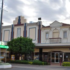
Roxy Theatre and Peters Greek Cafe Complex
43.3 km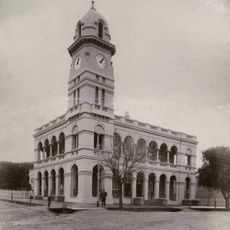
Tamworth Post Office
147.6 km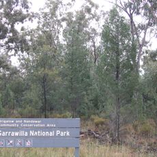
Garrawilla National Park
136.8 km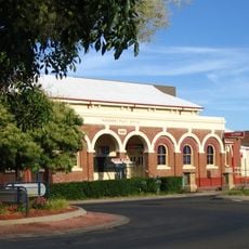
Narrabri Post Office and former Telegraph Office
53.1 km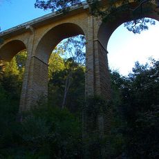
Manilla railway underbridges
91.9 km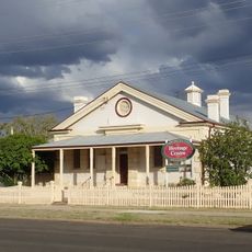
Narrabri Gaol and Residence
53.3 km
Inverell Post Office
96.6 km
Alloway (cottage)
62 km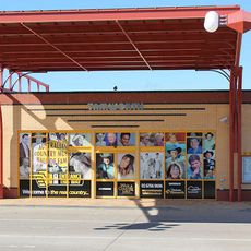
Australian Country Music Hall of Fame
148.6 km
National Transport Museum
97.5 km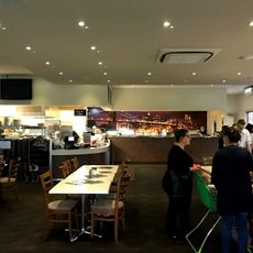
Tamworth Golf Course
147.3 km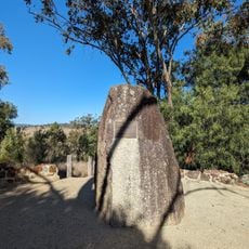
Myall Creek Memorial Site
59.1 km
Wing Hing Long Museum
103.8 km
Gunnedah Rural Museum
114.4 km
Pilliga National Park
125.2 km
Timmallallie National Park
133.4 km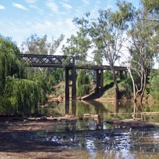
Cohens Bridge
113.6 kmBeoordelingen
Heeft u deze plek bezocht? Tik op de sterren om een beoordeling te geven en uw ervaring of foto's te delen met de community! Probeer het nu! U kunt het op elk moment annuleren.
Ontdek verborgen schatten op elk avontuur!
Van karakteristieke kleine cafeetjes tot geheime uitzichtpunten – ontvlucht de drukte en vind plekken die echt bij jou passen. Onze app maakt het makkelijk: spraakzoekopdrachten, slimme filters, geoptimaliseerde routes en authentieke tips van reizigers wereldwijd. Download nu en beleef het avontuur op je smartphone!

Een nieuwe benadering van toeristische ontdekking❞
— Le Figaro
Alle plekken die de moeite waard zijn om te ontdekken❞
— France Info
Een uitstapje op maat in slechts een paar klikken❞
— 20 Minutes