
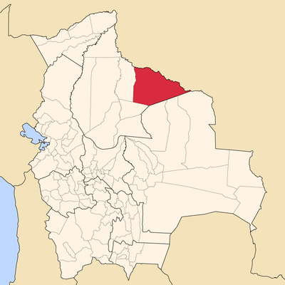
Iténez, provincie van Beni
Locatie: Beni Department
GPS-coördinaten: -13.50000,-63.33300
Laatste update: 14 maart 2025 om 14:55

Fort Prince of Beira
168.1 km
Nationaal park Noel Kempff Mercado
280.7 km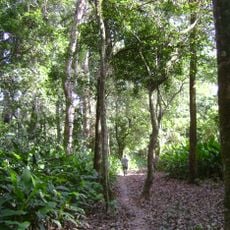
Isiboro Sécure National Park and Indigenous Territory
419.8 km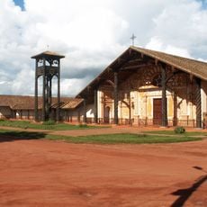
Jezuïetenmissies van de Chiquitos
321.4 km
Carrasco National Park
469.9 km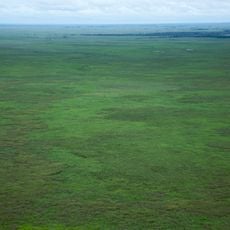
Beni Biological Station Biosphere Reserve
331.3 km
Pilón Lajas Biosphere Reserve and Communal Lands
449.4 km
Nationaal park Pacaás Novos
260.7 km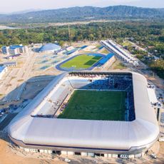
Estadio Bicentenario de Villa Tunari
443.7 km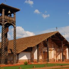
Immaculate Conception Cathedral, Concepción
325.5 km
Catarata Arco Iris
260.1 km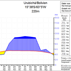
Urubichá
170.8 km
Serra Ricardo Franco State Park
350.6 km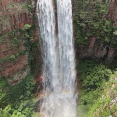
Cachoeira do Jatobá
385.5 km
Ríos Blanco y Negro Wildlife Reserve
165.7 km
Municipal Protected Area Pampas of the Yacuma River
367.5 km
Casarabe culture
196.5 km
Bajo Paraguá Municipal Protected Area
210.6 km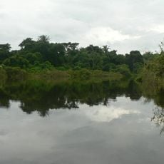
Ibare-Mamoré
237.2 km
Rio Cautário Federal Extractive Reserve
207.6 km
Aquariquara Extractive Reserve
439 km
Federico Ahlfeld Falls
256.3 km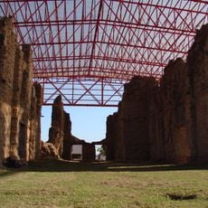
Ruins of the Church of the Holy Trinity
401.6 km
Rio Cautário State Extractive Reserve
192.2 km
Rio Ouro Preto Extractive Reserve
339.5 km
Isla Cumprida
115.8 km
Municipio Montero
426.8 km
Centro Acuático Porvenir
429.1 kmBeoordelingen
Heeft u deze plek bezocht? Tik op de sterren om een beoordeling te geven en uw ervaring of foto's te delen met de community! Probeer het nu! U kunt het op elk moment annuleren.
Ontdek verborgen schatten op elk avontuur!
Van karakteristieke kleine cafeetjes tot geheime uitzichtpunten – ontvlucht de drukte en vind plekken die echt bij jou passen. Onze app maakt het makkelijk: spraakzoekopdrachten, slimme filters, geoptimaliseerde routes en authentieke tips van reizigers wereldwijd. Download nu en beleef het avontuur op je smartphone!

Een nieuwe benadering van toeristische ontdekking❞
— Le Figaro
Alle plekken die de moeite waard zijn om te ontdekken❞
— France Info
Een uitstapje op maat in slechts een paar klikken❞
— 20 Minutes