
Municipality of Arbolito, municipality in Cerro Largo, Uruguay
Locatie: Cerro Largo Department
Hoofdstad: Arbolito
GPS-coördinaten: -32.61083,-54.21028
Laatste update: 25 maart 2025 om 02:40
Taim Ecological Station
156.9 km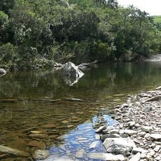
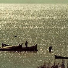
Quebrada de los Cuervos
42.1 km
Lascano
118.2 km
Baron of Mauá International Bridge
78.2 km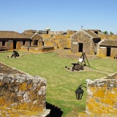
Fuerte San Miguel
135.4 km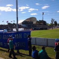
Estadio Arquitecto Antonio Eleuterio Ubilla
28.2 km
Bañados del Este Biosphere Reserve
100.9 km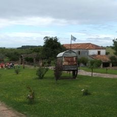
Posta del Chuy
30.5 km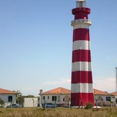
Chuí Lighthouse
148.1 km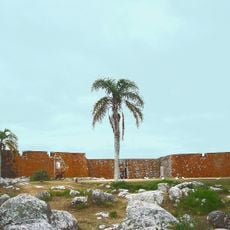
San Miguel national park
136 km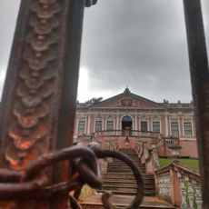
Dom Diogo de Souza Museum
142.6 km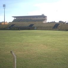
Estádio Pedra Moura
142.9 km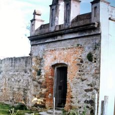
Capilla Farruco
98 km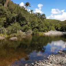
Quebrada de los cuervos
41.1 km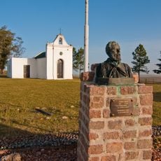
Museo Histórico General Aparicio Saravia
150.8 km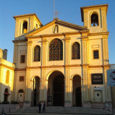
Cathedral of Melo
26.6 km
Palacete Pedro Osório
143.5 km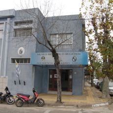
Regional History Museum of Melo
26.7 km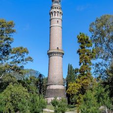
Faro Torre de Gaboto
146.3 km
Museu da Gravura Brasileira
144.6 km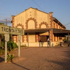
Estación Treinta y Tres
44.4 km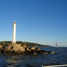
Phare de Ponta Alegre
138.1 km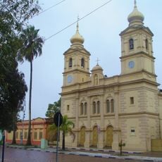
Catedral de São Sebastião
142.2 km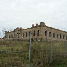
Antiga Enfermaria Militar
77.4 km
Centro Histórico de Bagé
142.2 km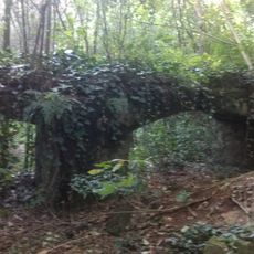
Bagé aqueduct
142.6 km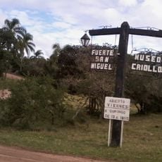
Museo Criollo e Indígena (San Miguel)
135.4 km
Ponte Alta (Bagé)
142.8 kmBeoordelingen
Heeft u deze plek bezocht? Tik op de sterren om een beoordeling te geven en uw ervaring of foto's te delen met de community! Probeer het nu! U kunt het op elk moment annuleren.
Ontdek verborgen schatten op elk avontuur!
Van karakteristieke kleine cafeetjes tot geheime uitzichtpunten – ontvlucht de drukte en vind plekken die echt bij jou passen. Onze app maakt het makkelijk: spraakzoekopdrachten, slimme filters, geoptimaliseerde routes en authentieke tips van reizigers wereldwijd. Download nu en beleef het avontuur op je smartphone!

Een nieuwe benadering van toeristische ontdekking❞
— Le Figaro
Alle plekken die de moeite waard zijn om te ontdekken❞
— France Info
Een uitstapje op maat in slechts een paar klikken❞
— 20 Minutes