
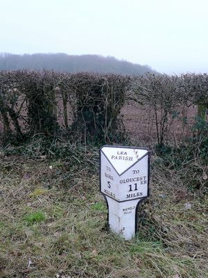
Milepost, Lea Line, milepost in Lea, Herefordshire, UK
Locatie: Herefordshire
Ontstaan: 19e eeuw
GPS-coördinaten: 51.88957,-2.48674
Laatste update: 5 maart 2025 om 21:46
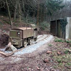
Lea Bailey Light Railway
2.8 km
Ariconium
3.2 km
Hobbs Quarry SSSI, Longhope
3.4 km
Stenders Quarry SSSI
3.1 km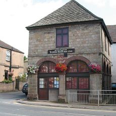
Old Town Hall
2.6 km
Mitcheldean Meend Marsh
3.8 km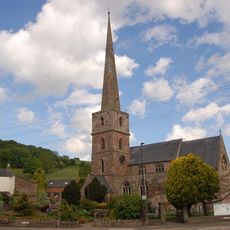
Church of St Michael and All Angels
2.7 km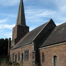
Church of St John the Baptist
931 m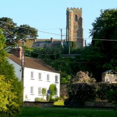
Church of St Lawrence
3.9 km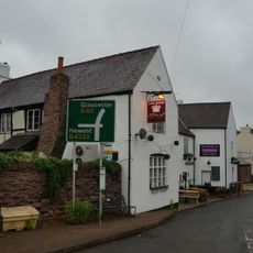
The Crown Inn
612 m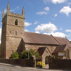
Church of All Saints
2.4 km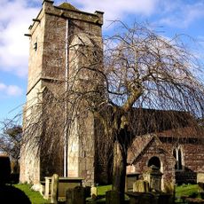
Church of St Michael and All Angels
3.9 km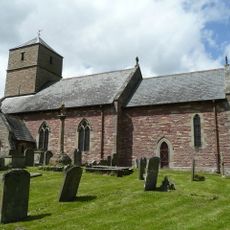
Church of St John the Baptist
2.8 km
Baptist Church
2.8 km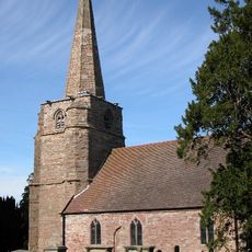
Church of St Mary, Linton
4 km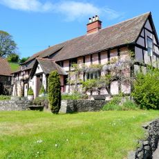
Upper Roxbush
1.5 km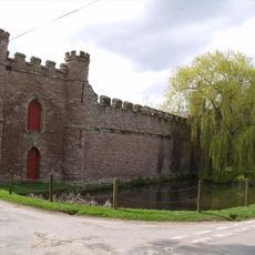
Barn On West Side Of Farmyard And Curtain Wall Enclosing Yard At Bollitree Castle
4 km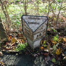
Milestone
4.2 km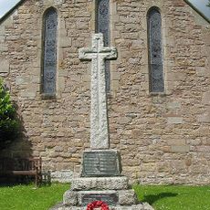
Weston under Penyard War Memorial
3.9 km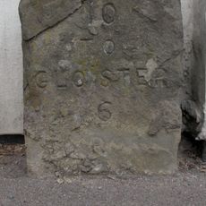
Milestone Against Garden Wall Of Hopebrook
1.4 km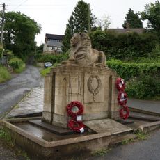
Longhope War Memorial at Junction with Monmouth Road
3.8 km
Bill Mills
4.1 km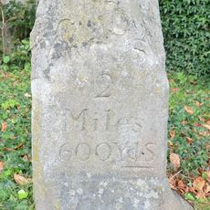
Milestone Approximately 20 Metres East Of Weston House
3.8 km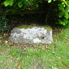
Cross Base
3.5 km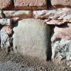
Milestone, Gloucester Road, jct of B4224
3 km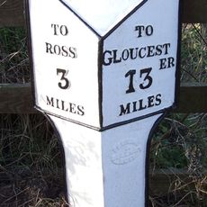
Milepost, Ryeford South
2.8 km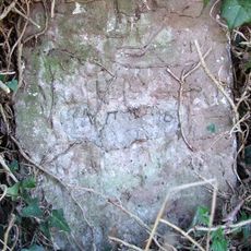
Milestone, Eccleswall
2.7 km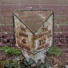
Milepost, 80m S jcn B4224
1.3 kmBeoordelingen
Heeft u deze plek bezocht? Tik op de sterren om een beoordeling te geven en uw ervaring of foto's te delen met de community! Probeer het nu! U kunt het op elk moment annuleren.
Ontdek verborgen schatten op elk avontuur!
Van karakteristieke kleine cafeetjes tot geheime uitzichtpunten – ontvlucht de drukte en vind plekken die echt bij jou passen. Onze app maakt het makkelijk: spraakzoekopdrachten, slimme filters, geoptimaliseerde routes en authentieke tips van reizigers wereldwijd. Download nu en beleef het avontuur op je smartphone!

Een nieuwe benadering van toeristische ontdekking❞
— Le Figaro
Alle plekken die de moeite waard zijn om te ontdekken❞
— France Info
Een uitstapje op maat in slechts een paar klikken❞
— 20 Minutes