
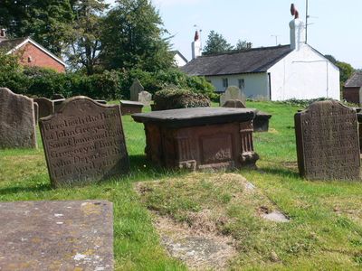
Group of 18 chest tombs, approximately 2 metres from the southeast corner of Church of St Nicholas
Group of 18 chest tombs, approximately 2 metres from the southeast corner of Church of St Nicholas, Grade II listed building in Burton, near Neston, Cheshire, UK
Locatie: Cheshire West and Chester
GPS-coördinaten: 53.26150,-3.02480
Laatste update: 4 maart 2025 om 23:49

Burton Manor
325 m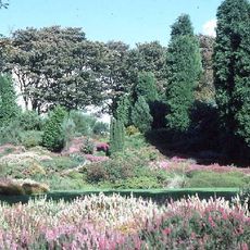
Ness Botanic Gardens
1.7 km
St Michael's Church, Shotwick
3.2 km
Shotwick Hall
3 km
Burton Point
1.6 km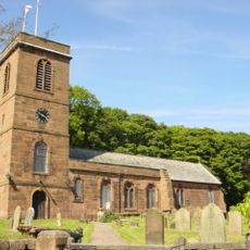
St Nicholas' Church, Burton
26 m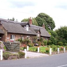
Bishop Wilson's House
332 m
Front garden walls and gatepiers at Shotwick Hall
3 km
Tombchest of Robert and Martha Ellison, 10 metres southwest of south corner of tower of Church of St Michael
3.2 km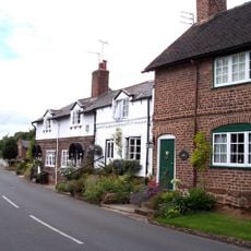
Rake Farm Cottage
287 m
Manor Farmhouse
3.2 km
Tombchest of Rev M Reay and 4 children, 8 metres south of south porch of Church of St Michael
3.2 km
Footpath Guidepost At Junction Of Pipers Lane Opposite The White House
1.4 km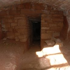
Ice house approximately 75 metres south west of Burton Manor
432 m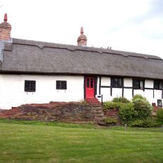
Barn End
235 m
Former kitchen or bakehouse attached to north east corner of Shotwick Hall
3 km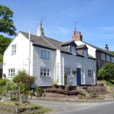
Plessington Cottage
73 m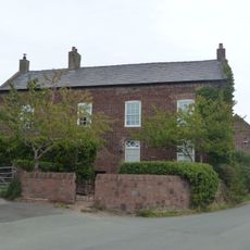
Laburnam Farmhouse And Garden Walls Attached At Front
2.3 km
L-shaped ranges of farm buildings 60 metres north of Shotwick Hall
3 km
Tombchest of John Nevett Bennett, 5 metres west of south porch of St Michael's Church
3.2 km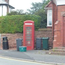
K6 Telephone Kiosk In Forecourt Of Post Office (Post Office Not Included)
2.3 km
Tombchest of William Briscoe (died 1723) and others, 4 metres west of priest's door to St Michael's Church
3.2 km
Vicarage Farmhouse
3.2 km
Tombchest of William Briscoe (died 1704) and others, 5 metres southwest of priest's door to St Michael's Church
3.2 km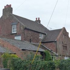
Goldstraw Farmhouse And Attached Farm Building To North West
2.2 km
Footpath Guidepost 5 Metres North Of Top Lodge
1.7 km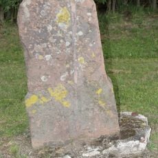
Milestone, Chester High Road, just N of hospital entrance
3 km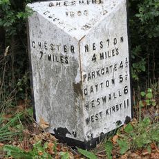
Milepost, S of Badgers Rake House
2.3 kmBeoordelingen
Heeft u deze plek bezocht? Tik op de sterren om een beoordeling te geven en uw ervaring of foto's te delen met de community! Probeer het nu! U kunt het op elk moment annuleren.
Ontdek verborgen schatten op elk avontuur!
Van karakteristieke kleine cafeetjes tot geheime uitzichtpunten – ontvlucht de drukte en vind plekken die echt bij jou passen. Onze app maakt het makkelijk: spraakzoekopdrachten, slimme filters, geoptimaliseerde routes en authentieke tips van reizigers wereldwijd. Download nu en beleef het avontuur op je smartphone!

Een nieuwe benadering van toeristische ontdekking❞
— Le Figaro
Alle plekken die de moeite waard zijn om te ontdekken❞
— France Info
Een uitstapje op maat in slechts een paar klikken❞
— 20 Minutes