Park View, Grade II listed house in Middle Duntisbourne, Duntisbourne Rouse, Cotswold, Gloucestershire, UK
Locatie: Duntisbourne Rouse
GPS-coördinaten: 51.75799,-2.02216
Laatste update: 21 november 2025 om 13:56
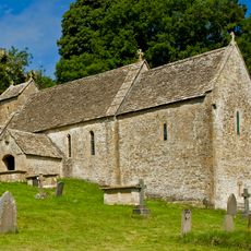
St Michael's Church, Duntisbourne Rouse
534 m
Jefferis Monument In The Churchyard Approximately 3.5M South Of Church Of St Michael
535 m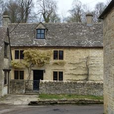
Turner's
1.5 km
Unidentified Monument In The Churchyard Approximately 4M South Of Porch To Church Of St Michael
540 m
Unidentified Monument In The Churchyard 1M West Of Jefferis Memorial To South Of Church Of St Michael
536 m
Alice's House
1.4 km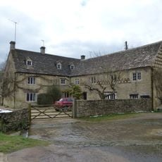
Duntisbourne Leer Farmhouse
1.4 km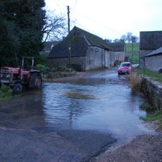
Footbridge to east of ford
257 m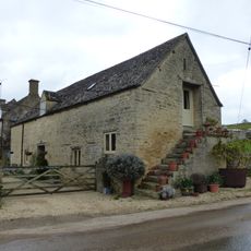
Stables to south east of Manor Farmhouse
237 m
Grove House
1.3 km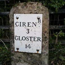
Milestone
1.3 km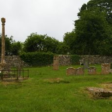
Churchyard cross in St Michael's churchyard
554 m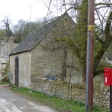
Barn approximately 8 metres south of Duntisbourne Leer Farmhouse
1.4 km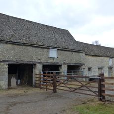
Cartshed and granary with attached cowhouse across road and to south east of Manor Farmhouse
229 m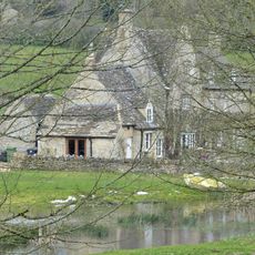
Manor Farmhouse
252 m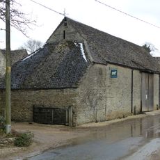
Barn to south of Manor Farmhouse
245 m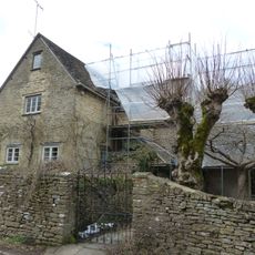
Trustams Mead
1.5 km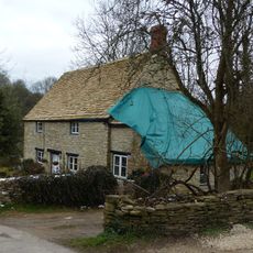
22, Duntisbourne Leer
1.4 km
Barn And Stables With Granary To South East Of Nutbeam Farmhouse
1 km
Former Granary Lightend Barn
1 km
Stables approximately 18 metres south east of Duntisbourne Leer Farmhouse
1.4 km
Pigsty approximately 20 metres north east of Duntisbourne Leer Farm
1.4 km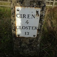
Milestone, N of Dartley farm (southbound carriageway)
941 m
Nutbeam Farmhouse
1.1 km
Old Rectory
573 m
Unidentified Monument In The Churchyard Approximately 6M South Of Tower To Church Of St Michael
538 m
Boulton Monument In The Churchyard Approximately 6M South Of Church Of St Michael
538 m
Unidentified Monument In The Churchyard Approximately 4M South Of Chancel To Church Of St Michael
534 mBeoordelingen
Heeft u deze plek bezocht? Tik op de sterren om een beoordeling te geven en uw ervaring of foto's te delen met de community! Probeer het nu! U kunt het op elk moment annuleren.
Ontdek verborgen schatten op elk avontuur!
Van karakteristieke kleine cafeetjes tot geheime uitzichtpunten – ontvlucht de drukte en vind plekken die echt bij jou passen. Onze app maakt het makkelijk: spraakzoekopdrachten, slimme filters, geoptimaliseerde routes en authentieke tips van reizigers wereldwijd. Download nu en beleef het avontuur op je smartphone!

Een nieuwe benadering van toeristische ontdekking❞
— Le Figaro
Alle plekken die de moeite waard zijn om te ontdekken❞
— France Info
Een uitstapje op maat in slechts een paar klikken❞
— 20 Minutes