
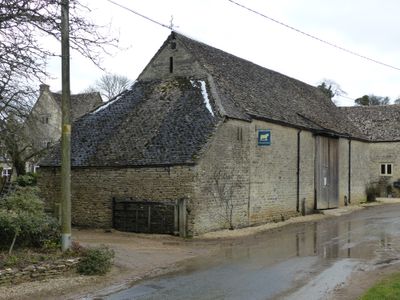
Barn to south of Manor Farmhouse, Grade II listed barn in Duntisbourne Rouse, Cotswold, Gloucestershire, UK
Locatie: Duntisbourne Rouse
GPS-coördinaten: 51.75780,-2.02570
Laatste update: 7 maart 2025 om 03:45
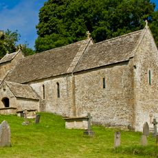
St Michael's Church, Duntisbourne Rouse
555 m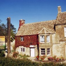
Five Mile House
2.6 km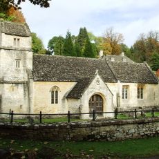
Church of St Margaret
2.8 km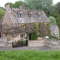
Davenport House
1.8 km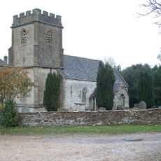
Church of the Holy Rood
1.9 km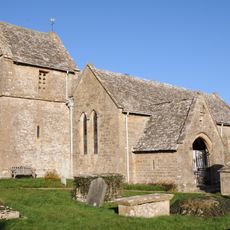
Church of St Peter
1.8 km
Turner's
1.3 km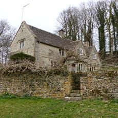
Whitehead's Well
1.5 km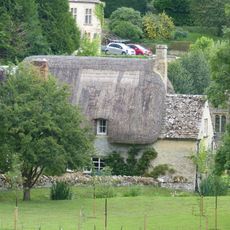
Thatch Cottage
2.8 km
Gloucester Lodge
2.2 km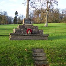
Bagendon War Memorial
2.7 km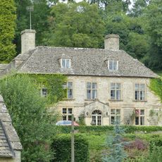
Bagendon Manor or Manor Farm
2.8 km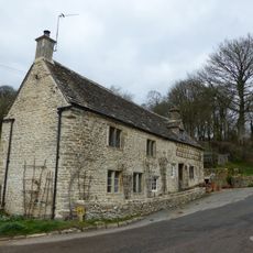
Alice's House
1.3 km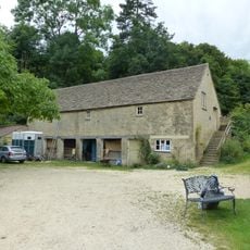
Open-fronted store west of the stables, Moor Wood
2.7 km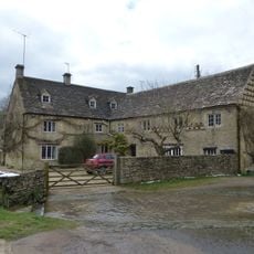
Duntisbourne Leer Farmhouse
1.3 km
Milestone
2.3 km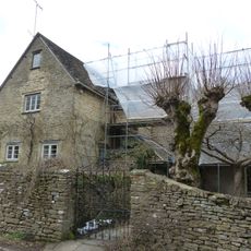
Trustams Mead
1.3 km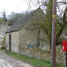
Barn approximately 8 metres south of Duntisbourne Leer Farmhouse
1.3 km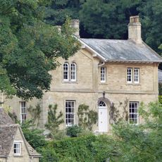
The Old Rectory with service cottage and link wall
2.8 km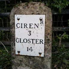
Milestone
1.5 km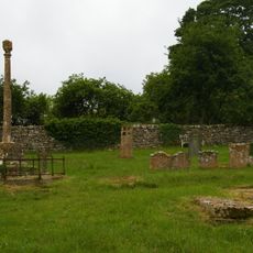
Churchyard cross in St Michael's churchyard
574 m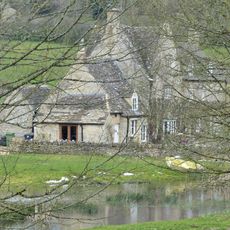
Manor Farmhouse
28 m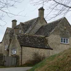
Well Hill
1.8 km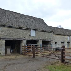
Cartshed and granary with attached cowhouse across road and to south east of Manor Farmhouse
22 m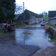
Footbridge to east of ford
35 m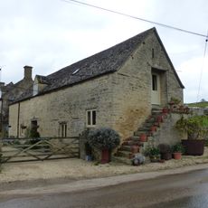
Stables to south east of Manor Farmhouse
17 m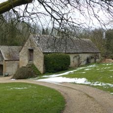
Stables approximately 18 metres south east of Duntisbourne Leer Farmhouse
1.3 km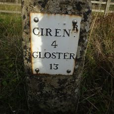
Milestone, N of Dartley farm (southbound carriageway)
1 kmBeoordelingen
Heeft u deze plek bezocht? Tik op de sterren om een beoordeling te geven en uw ervaring of foto's te delen met de community! Probeer het nu! U kunt het op elk moment annuleren.
Ontdek verborgen schatten op elk avontuur!
Van karakteristieke kleine cafeetjes tot geheime uitzichtpunten – ontvlucht de drukte en vind plekken die echt bij jou passen. Onze app maakt het makkelijk: spraakzoekopdrachten, slimme filters, geoptimaliseerde routes en authentieke tips van reizigers wereldwijd. Download nu en beleef het avontuur op je smartphone!

Een nieuwe benadering van toeristische ontdekking❞
— Le Figaro
Alle plekken die de moeite waard zijn om te ontdekken❞
— France Info
Een uitstapje op maat in slechts een paar klikken❞
— 20 Minutes