South Hill, Virginia
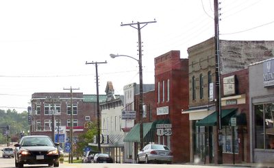
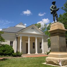
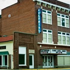
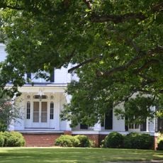
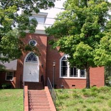
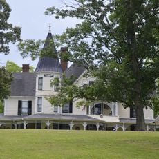
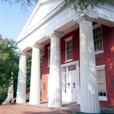
South Hill is een kleine stad met ongeveer 4.900 inwoners in Mecklenburg County, Virginia, gelegen vlakbij Interstate 85 en gemakkelijk bereikbaar vanuit nabijgelegen steden. De stad heeft brede straten met bakstenen gebouwen, parken zoals Centennial Park en Parker Park, en het gerenoveerde Colonial Theatre dat optredens en gemeenschapsgebeurtenissen herbergt.
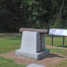
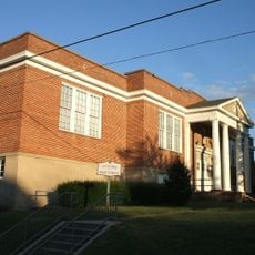
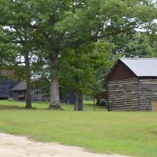
South Hill werd in 1901 opgericht en groeide uit rond landbouw en tabakshandel, met een actieve markt die boeren en handelaren nog steeds samenbrengt. Het Colonial Theatre werd in 2003 ingeschreven in het National Register of Historic Places en in 2011 gerenoveerd, wat de voortdurende inzet van de stad aangeeft.
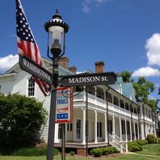
South Hill ontwikkelde zich als een marktstad geworteld in landbouw en tabakshandel, een erfenis nog steeds zichtbaar in lokale festivals en de actieve boersenmarkt. Bewoners komen regelmatig samen om gemeenschappelijke tradities te vieren en lokale waarden in stand te houden.
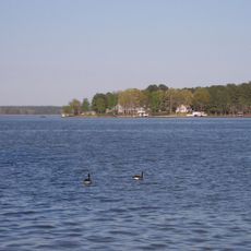
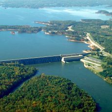
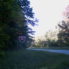
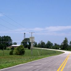
South Hill ligt op minder dan 90 minuten van Richmond en Raleigh en is gemakkelijk bereikbaar via Interstate 85, wat het een goed uitgangspunt maakt voor het verkennen van de regio. De stad biedt hotels, restaurants met lokaal eten, wandelparken en nabije toegang tot Kerr Lake en Lake Gaston voor water- en recreatieve activiteiten.
South Hill ligt tussen twee grote meren, Kerr Lake en Lake Gaston, die het hele jaar door boten en vissers aantrekken en de stad tot een uitgangspunt voor waterrecreatie maken. De nabijheid van de stad tot Richmond, Raleigh en de havenstad Virginia creëert een onverwachte rol als logistiek knooppunt voor goederenvervoer langs de oostkust.
De community van nieuwsgierige reizigers
AroundUs brengt duizenden geselecteerde plaatsen, lokale tips en verborgen pareltjes samen, dagelijks verrijkt door meer dan 60,000 bijdragers wereldwijd.