
Monks Horton, civil parish in Kent, United Kingdom
Locatie: Folkestone and Hythe
GPS-coördinaten: 51.12028,1.02083
Laatste update: 3 maart 2025 om 22:25


Port Lympne Wild Animal Park
5 km
Operation Stack
5.9 km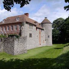
Westenhanger Castle
3 km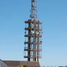
Tolsford Hill BT Tower
4.7 km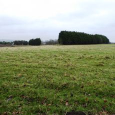
Otterpool Quarry
3.6 km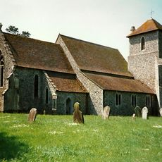
Church of St Mary
2.1 km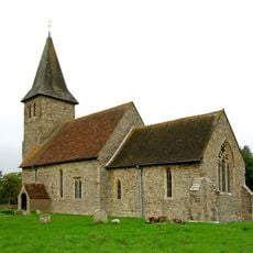
Church of St Mary and St Radegund
3.2 km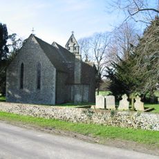
Church of St Peter
992 m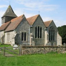
Church of St James
4.9 km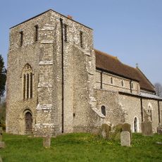
Church of St Mary
2 km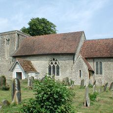
Church of St Mary
4.3 km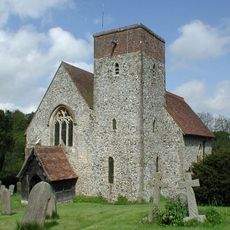
Church of St Mary
4.7 km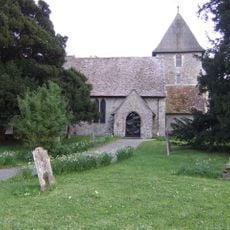
Church of St Mary, Sellindge
2.6 km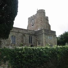
Church of St Mary and St Ethelburga, and Remains of the Older Church to South
4.7 km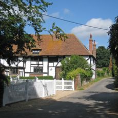
Boyke Manor
5.8 km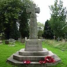
Lyminge War Memorial
4.6 km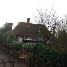
Kite Manor
134 m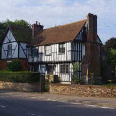
Old Robus
4.9 km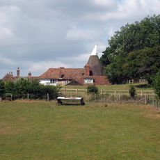
Lodge House
3 km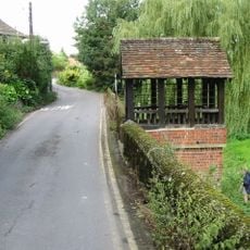
St Ethelburga's Well And Wall To North And South
4.7 km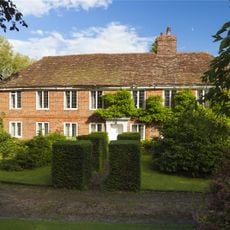
Lindon Hall
4.9 km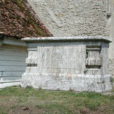
Chest Tomb To Thomas Wyborn, About 2 Metres South Of Church Of St Mary
4.3 km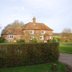
Bitford
344 m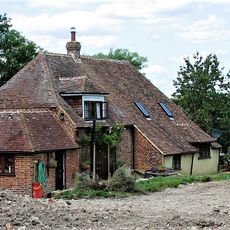
Smeeds Farm
306 m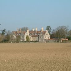
Monks Horton Priory
1.1 km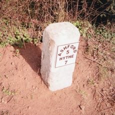
Milestone, Hythe Road, 40m E of Smeeth Crossroads
4.4 km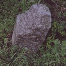
Milestone, Hythe Road, W of old filling station, beneath power lines
3.2 km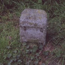
Milestone, Main Road, E of Moorstock Lane
2.2 kmBeoordelingen
Heeft u deze plek bezocht? Tik op de sterren om een beoordeling te geven en uw ervaring of foto's te delen met de community! Probeer het nu! U kunt het op elk moment annuleren.
Ontdek verborgen schatten op elk avontuur!
Van karakteristieke kleine cafeetjes tot geheime uitzichtpunten – ontvlucht de drukte en vind plekken die echt bij jou passen. Onze app maakt het makkelijk: spraakzoekopdrachten, slimme filters, geoptimaliseerde routes en authentieke tips van reizigers wereldwijd. Download nu en beleef het avontuur op je smartphone!

Een nieuwe benadering van toeristische ontdekking❞
— Le Figaro
Alle plekken die de moeite waard zijn om te ontdekken❞
— France Info
Een uitstapje op maat in slechts een paar klikken❞
— 20 Minutes