
Mahaba Island Protected Landscape and Seascape, eiland in Filipijnen
Locatie: Placer
Ontstaan: 29 december 1991
GPS-coördinaten: 9.70083,125.67056
Laatste update: 11 maart 2025 om 00:32
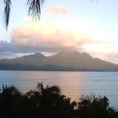
Cabalian Volcano
81.1 km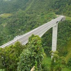
Agas-Agas Bridge
115.3 km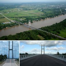
Macapagal Bridge
87.6 km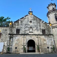
Maasin Cathedral
103.2 km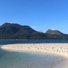
Timpoong and Hibok-Hibok Natural Monument
119.5 km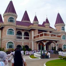
Islander's Castle
47.9 km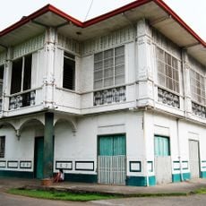
Pelaez Ancestral House
112.9 km
Surigao Cathedral
21.8 km
Siargao Islands Protected Landscape and Seascape
41.4 km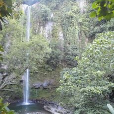
Katibawasan Falls
117.3 km
Andanan Watershed Forest Reserve
95.9 km
Magpupungko Beach
52.8 km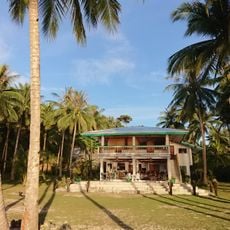
Pacifico Beach
54.6 km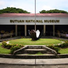
Butuan National Museum
84.7 km
Alegria beach
58.9 km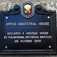
Oppus Ancestral House historical marker
102.8 km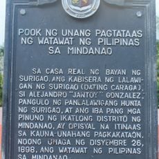
Site of the First Raising of the Philippine Flag in Mindanao historical marker
21.9 km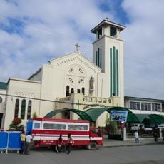
Butuan Cathedral
85 km
Balangay Shrine Museum
85.3 km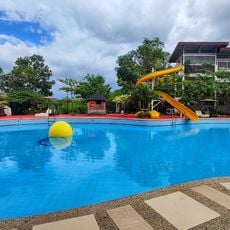
JB Nature Farm and Resort
18.2 km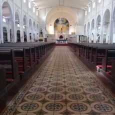
Tandag Cathedral
90.2 km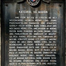
Cathedral of Maasin historical marker
103.2 km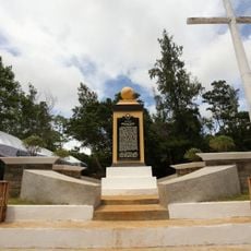
Homonhon quincentennial historical marker
111.2 km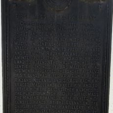
First Mass in the Philippines historical marker
80.5 km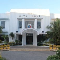
Surigao City Hall
21.9 km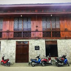
Oppus House
102.8 km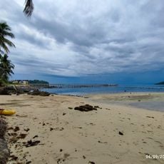
Sampaguita Beach
15.9 km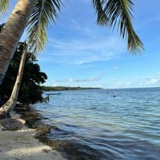
Malinao Beach
50.9 kmBeoordelingen
Heeft u deze plek bezocht? Tik op de sterren om een beoordeling te geven en uw ervaring of foto's te delen met de community! Probeer het nu! U kunt het op elk moment annuleren.
Ontdek verborgen schatten op elk avontuur!
Van karakteristieke kleine cafeetjes tot geheime uitzichtpunten – ontvlucht de drukte en vind plekken die echt bij jou passen. Onze app maakt het makkelijk: spraakzoekopdrachten, slimme filters, geoptimaliseerde routes en authentieke tips van reizigers wereldwijd. Download nu en beleef het avontuur op je smartphone!

Een nieuwe benadering van toeristische ontdekking❞
— Le Figaro
Alle plekken die de moeite waard zijn om te ontdekken❞
— France Info
Een uitstapje op maat in slechts een paar klikken❞
— 20 Minutes