
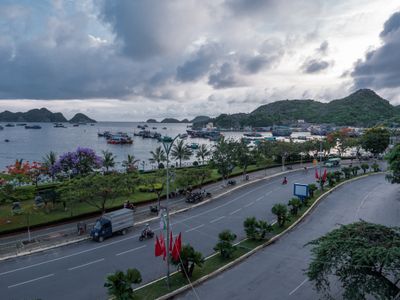
Cát Bà, municipality in Vietnam
Locatie: Cát Hải
Hoogte boven de zeespiegel: 111 m
GPS-coördinaten: 20.72389,107.05778
Laatste update: 11 april 2025 om 19:06

Hạ Longbaai
20.6 km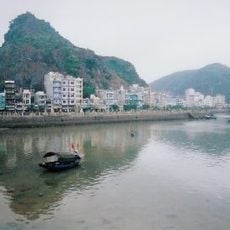
Cat Ba Island
10.4 km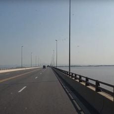
Cầu Tân Vũ – Lạch Huyện
26.2 km
Quang Ninh Museum
25.4 km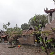
Chùa Vĩnh Nghiêm
93.9 km
Cathedral of the Queen of the Rosary, Xuân Trường
88.9 km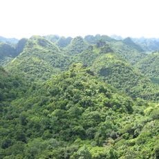
Cat Ba National Park
37.3 km
Haiphong Opera House
41.9 km
Temple of Literature, Mao Điền
93.7 km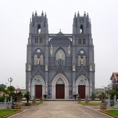
Basilica of Immaculate Conception, Phu Nhai
88.9 km
Hoang Van Thu Bridge
42.9 km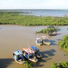
Xuan Thuy National Park
78.8 km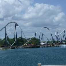
Dragon's Run
25.7 km
Lạch Traystadion
41 km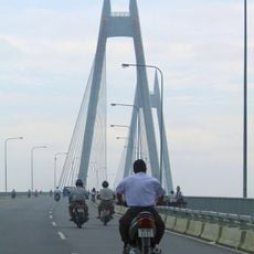
Binh Bridge
43.9 km
Red River Delta Biosphere Reserve
28.9 km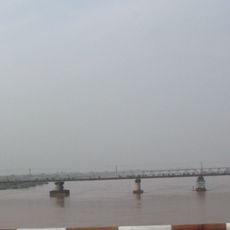
Phu Luong Bridge
77.2 km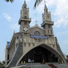
Sacred Heart Cathedral of Thái Bình
80.3 km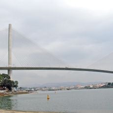
Bai Chay Bridge
26.3 km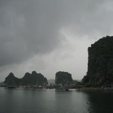
Bai Tu Long National Park
66.1 km
Mount Yen Tu
61.4 km
Hai Phòng Cathedral
42.1 km
Ocean Park Ha Long
25.8 km
Monument to Gherman Titov, Titov Island
15.2 km
The Complex of Yen Tu Monuments and Landscape
52.8 km
Vo Nguyen Giap Bridge
39.3 km
Tuan Chau Aquarium
23.7 km
Khu Di tích lịch sử Quốc gia đặc biệt Bạch Đằng
38.2 kmBeoordelingen
Heeft u deze plek bezocht? Tik op de sterren om een beoordeling te geven en uw ervaring of foto's te delen met de community! Probeer het nu! U kunt het op elk moment annuleren.
Ontdek verborgen schatten op elk avontuur!
Van karakteristieke kleine cafeetjes tot geheime uitzichtpunten – ontvlucht de drukte en vind plekken die echt bij jou passen. Onze app maakt het makkelijk: spraakzoekopdrachten, slimme filters, geoptimaliseerde routes en authentieke tips van reizigers wereldwijd. Download nu en beleef het avontuur op je smartphone!

Een nieuwe benadering van toeristische ontdekking❞
— Le Figaro
Alle plekken die de moeite waard zijn om te ontdekken❞
— France Info
Een uitstapje op maat in slechts een paar klikken❞
— 20 Minutes