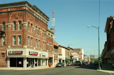
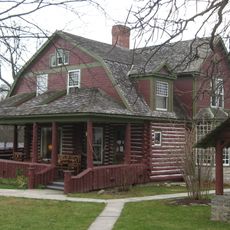
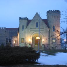
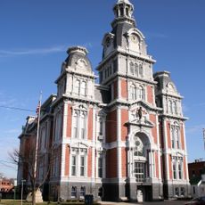
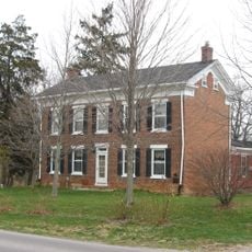
Decatur, Indiana
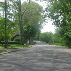
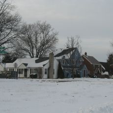
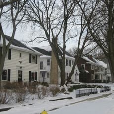
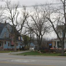
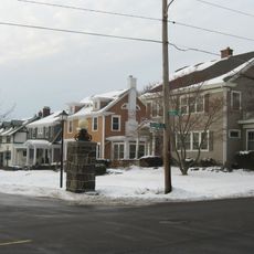
Decatur is een stad in Adams County in het noordoostelijk deel van Indiana. Het ligt in een vlak, door landbouw gekenmerkt landschap en dient als lokaal bestuurlijk en commercieel centrum voor de omliggende landelijke gemeenten.
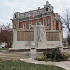
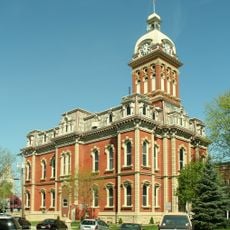
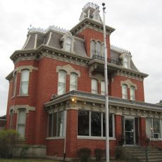
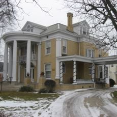
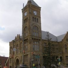
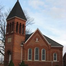
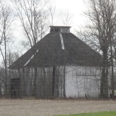
De stad werd in het begin van de 19e eeuw gesticht en groeide uit tot handels- en administratief centrum voor de landelijke regio. In de loop van decennia heeft het zich gevestigd als centrum voor landbouwactiviteiten en lokale diensten.
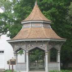
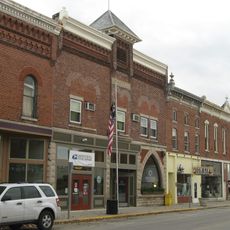
De stad is gemakkelijk bereikbaar via wegen vanuit alle richtingen en heeft een typisch netwerk van winkels, diensten en openbare voorzieningen die voornamelijk in het stadscentrum zijn geconcentreerd. Bezoekers vinden hier de gebruikelijke voorzieningen van een klein stadje met een beheersbare grootte.
De community van nieuwsgierige reizigers
AroundUs brengt duizenden geselecteerde plaatsen, lokale tips en verborgen pareltjes samen, dagelijks verrijkt door meer dan 60,000 bijdragers wereldwijd.