Belchertown, human settlement in Hampshire County, Massachusetts, United States of America
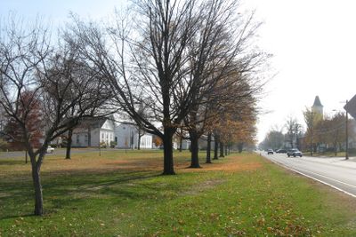
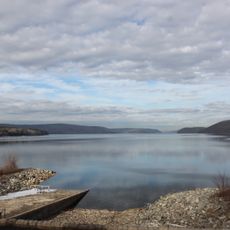
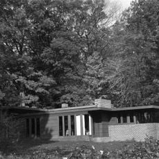
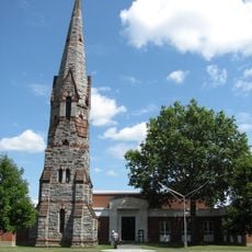
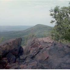
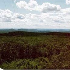
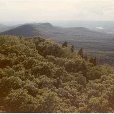
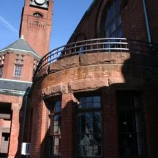
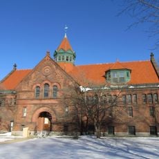
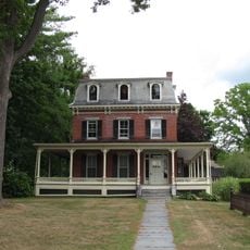
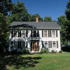
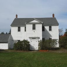
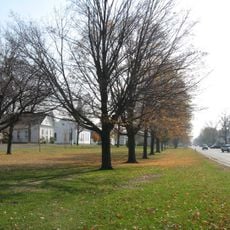
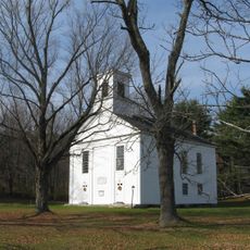
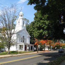
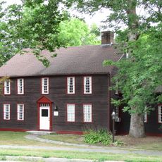
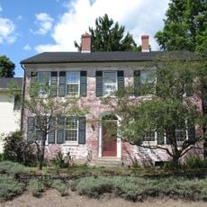
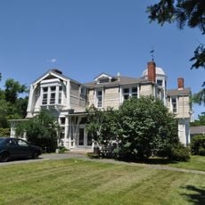
Belchertown is een stad in Hampshire County, Massachusetts, gelegen aan de westkant van het Quabbin Reservoir. Het heeft rustige straten, historische huizen uit de 18e en 19e eeuw, open groene ruimten en verspreide buurten tussen boerderijen en weiden.
De regio werd ongeveer 7000 jaar geleden bewoond door de Nipmuc- en Norwottuck-volkeren voordat Europese kolonisten aankwamen. In 1731 opgericht als Cold Spring, werd het in 1761 officieel hernoemd naar Belchertown ter ere van gouverneur Jonathan Belcher.
De naam Belchertown eert gouverneur Jonathan Belcher, een koloniaal leider wiens erfenis de gemeenschapsidentiteit blijft vormgeven. Inwoners vieren dit erfgoed door middel van lokale festivals die bezoekers verbinden met de vroege geschiedenis van de regio.
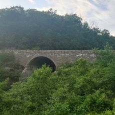
De stad is gemakkelijk bereikbaar via Interstate 90, gelegen ten zuiden van het gebied, wat snelle toegang biedt tot grotere steden zoals Northampton, Springfield en Worcester. De rivier Swift markeert de oostgrens en bevat wildernisgebieden die geschikt zijn voor natuurobservatie en wandelingen.
Tijdens de Amerikaanse Revolutie marcheerde de burgermacht van de stad naar Cambridge om deel te nemen aan de eerste schoten van de oorlog, waarbij sommige gebouwen naar verluidt als signaalstalions fungeerden. Deze weinig bekende betrokkenheid toont hoe zelfs kleine gemeenschappen directe rollen speelden in de vrijheidsstrijd.
De community van nieuwsgierige reizigers
AroundUs brengt duizenden geselecteerde plaatsen, lokale tips en verborgen pareltjes samen, dagelijks verrijkt door meer dan 60,000 bijdragers wereldwijd.