Sanford, Maine
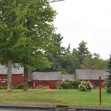
Sanford is een stad in York County, Maine, gelegen langs de Mousam River. De stad combineert woonwijken, commerciële gebieden en gemeenschapsfaciliteiten die zowel bewoners als bezoekers van dienst zijn.
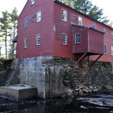
Sanford werd in de 18e eeuw opgericht en groeide uit tot een regionaal centrum langs de Mousam River. De stad werd een belangrijk handelscentrum voor de omliggende regio.
Sanford is goed verbonden met het regionale wegennet, wat gemakkelijk navigeren per auto faciliteert. De stad biedt handige parkeerplaatsen en heeft winkels en diensten verspreid over de hele plaats.
De community van nieuwsgierige reizigers
AroundUs brengt duizenden geselecteerde plaatsen, lokale tips en verborgen pareltjes samen, dagelijks verrijkt door meer dan 60,000 bijdragers wereldwijd.