Monticello, Kentucky
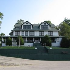
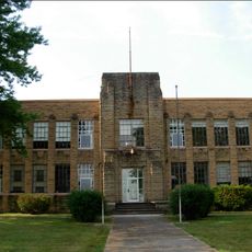
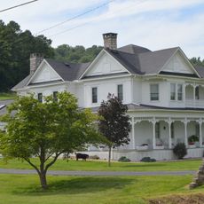
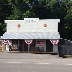
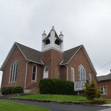
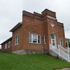
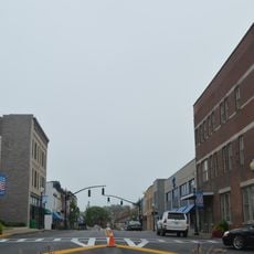
Monticello is een kleine stad in Wayne County, Kentucky, gelegen op glooiende heuvels en landbouwgrond in de buurt van de Appalachian Mountains. De straten bevatten huizen en lokale winkels, waarbij verschillende gebouwen hun historische uiterlijk en ouderdom behouden.
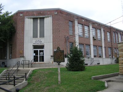
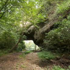
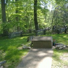
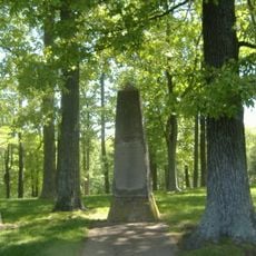
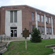
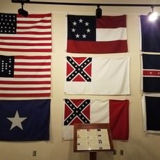
Monticello begon als een stopplaats voor reizigers en handelaren die door Kentucky reisden en ontwikkelde zich later tot een lokaal centrum. Het gebied speelde een rol tijdens de Burgeroorlog, met locaties zoals Mill Springs Mill die belangrijke regionale momenten uit die periode markeren.
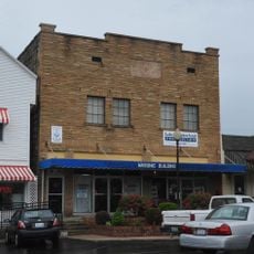
Monticello groeide uit tot een verzamelplaats voor vroege kolonisten en blijft een hechte gemeenschap waar buren regelmatig met elkaar omgaan. Bezoekers kunnen zien hoe inwoners lokaal winkelen, deelnemen aan seizoensfestivals en vieringen, en hun verbinding met omringende natuurgebieden en tradities waarderen.
De stad heeft beperkte grote hotels, dus het is het beste om logeeropties vooraf te controleren of nabijgelegen dorpen voor onderdak in overweging te nemen. Het gebied ervaart vier verschillende seizoenen met warme zomers en koude winters die af en toe sneeuw kunnen brengen, dus plan je bezoek dienovereenkomstig.
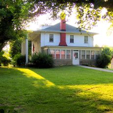
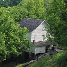
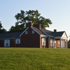
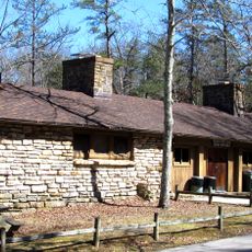
De stad bevat de historische hut van Raccoon John Smith, een klein houten huis dat laat zien hoe vroege kolonisten leefden en hoe religie hun dagelijks leven vormde. Bezoekers kunnen naar binnen gaan om uit de eerste hand te zien hoe pioniers uit de 19e eeuw hun huishoudelijke routines werkelijk organiseerden.
De community van nieuwsgierige reizigers
AroundUs brengt duizenden geselecteerde plaatsen, lokale tips en verborgen pareltjes samen, dagelijks verrijkt door meer dan 60,000 bijdragers wereldwijd.