
Bartlett, Nebraska
Locatie: Wheeler County
Hoogte boven de zeespiegel: 663 m
GPS-coördinaten: 41.88500,-98.55250
Laatste update: 5 mei 2025 om 23:49
Ashfall Fossil Beds
68.3 km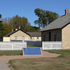
Fort Hartsuff State Historical Park
43 km
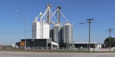
Rad Slavin cis. 112 Z.C.B.J. Hall
58.7 km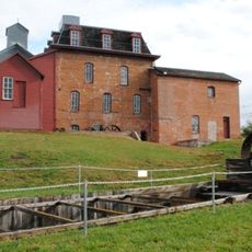
Neligh Mill
50.8 km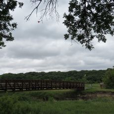
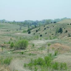
Olson Nature Preserve
38.4 km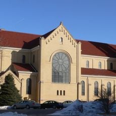
St. Anthony's Church and School
49.2 km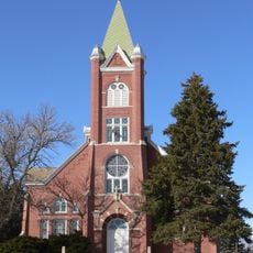
Church of the Visitation of the Blessed Virgin Mary
42.1 km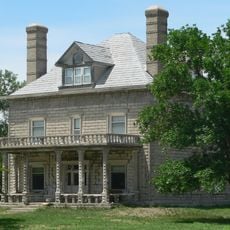
A.T. Ranch Headquarters
8.3 km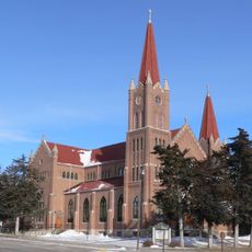
St. Michael's Catholic Church Complex
26.8 km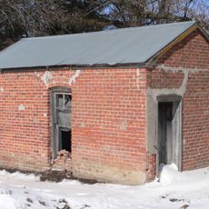
Petersburg Jail
39.3 km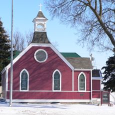
St. Peter's Episcopal Church
51.2 km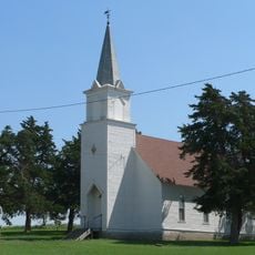
Dannevirke Danish Lutheran Church and Community Hall
64 km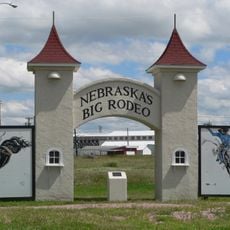
Garfield County Frontier Fairgrounds
48.9 km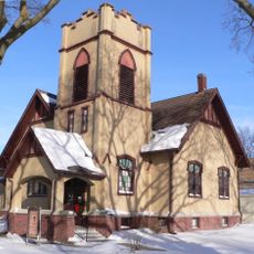
First Presbyterian Church
27.3 km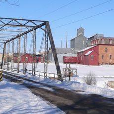
Neligh Mill Bridge
50.8 km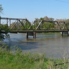
North Loup Bridge
44.9 km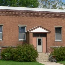
Burwell Carnegie Library
49.5 km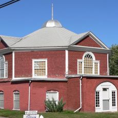
People's Unitarian Church
44.5 km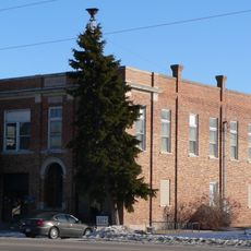
Cedar Rapids City Hall and Library
49.4 km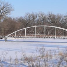
Elkhorn River Bridge
46.7 km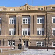
Greeley County Courthouse
37.6 km
Former Wheeler County Courthouse
116 m
Verdigris Creek Bridge
64.3 km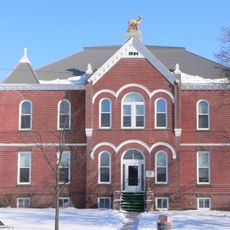
Antelope County Courthouse
51.2 km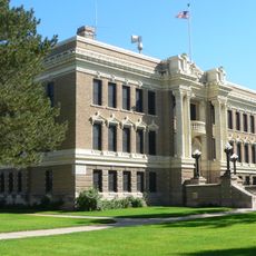
Valley County Courthouse
44.3 km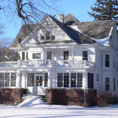
Warrick House
69.3 km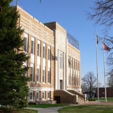
Holt County Courthouse
64.4 km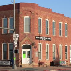
Old Nebraska State Bank Building
64.2 kmHeeft u deze plek bezocht? Tik op de sterren om een beoordeling te geven en uw ervaring of foto's te delen met de community! Probeer het nu! U kunt het op elk moment annuleren.
Ontdek verborgen schatten op elk avontuur!
Van karakteristieke kleine cafeetjes tot geheime uitzichtpunten – ontvlucht de drukte en vind plekken die echt bij jou passen. Onze app maakt het makkelijk: spraakzoekopdrachten, slimme filters, geoptimaliseerde routes en authentieke tips van reizigers wereldwijd. Download nu en beleef het avontuur op je smartphone!

Een nieuwe benadering van toeristische ontdekking❞
— Le Figaro
Alle plekken die de moeite waard zijn om te ontdekken❞
— France Info
Een uitstapje op maat in slechts een paar klikken❞
— 20 Minutes