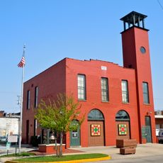
Plymouth, Indiana
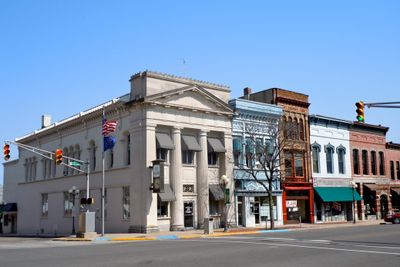
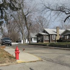
Plymouth is een stad in het noorden van Indiana langs de Yellow River die als county seat van Marshall County fungeert. De stad strekt zich uit over een compact gebied met eenvoudige straten en een bevolking van net iets meer dan tienduizend, waardoor het gemakkelijk is om rond te wandelen en te verkennen.
Het gebied was thuisbasis van het Potawatomi-volk tot ze in 1838 werden gedwongen te vertrekken tijdens een gedwongen mars van meer dan 600 mijl. Kolonisten uit Nieuw-Engeland kwamen in de 19e eeuw aan en noemden de stad naar hun thuisregio, stellende permanente gemeenschappen in.
Plymouth draagt zijn naam van een stad in Massachusetts, wat de connectie met kolonisten uit Nieuw-Engeland weerspiegelt die in de 19e eeuw hier aankwamen. De stad eert deze erfenis terwijl zij ook het Potawatomi-volk herdenkt dat lange voor de Europese vestiging op deze landen leefde.
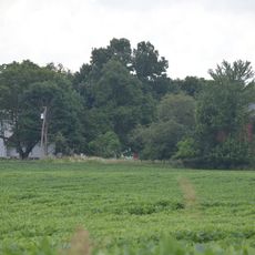
De stad is compact ingedeeld langs de Yellow River met parken en recreatieve voorzieningen die gemakkelijk te voet bereikbaar zijn. Het nabijgelegen Culver aan Lake Maxinkuckee met zijn stranden en lokale restaurants ligt op korte afstand met de auto en vult het aanbod aan voor dagtochten.
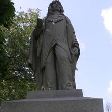
Een gedenkteken op Peach Road eert Chief Menominee en zijn Potawatomi-metgezellen die in 1838 werden verwijderd tijdens de gedwongen mars. Dit monument is een belangrijke plek om te reflecteren op een moeilijke periode van de Amerikaanse geschiedenis.
De community van nieuwsgierige reizigers
AroundUs brengt duizenden geselecteerde plaatsen, lokale tips en verborgen pareltjes samen, dagelijks verrijkt door meer dan 60,000 bijdragers wereldwijd.