Wilbraham, town in Massachusetts, United States
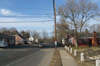
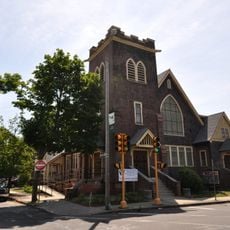
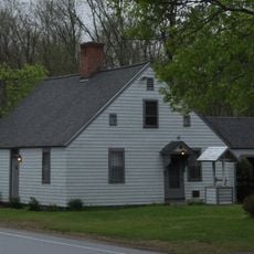
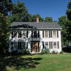
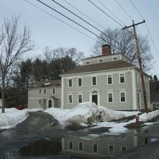
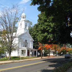
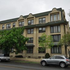
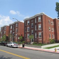
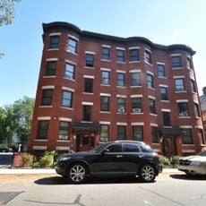
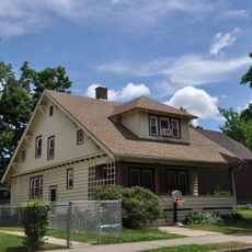
Wilbraham is een kleine stad in Hampden County, Massachusetts, gekenmerkt door residentiële buurten met huizen die teruggezet zijn van de straten en goed onderhouden gazons. De stad heeft bomenlijnstraten, kleine kerken en schoolgebouwen, evenals lokale winkels die dagelijkse behoeften vervullen.
Wilbraham werd rond 1675 gesticht door kolonisten uit Springfield en was aanvankelijk bekend als een buitenwijk. De plaats werd in 1763 een onafhankelijke stad en bleef vooral landbouwgebied totdat het zich na de Tweede Wereldoorlog transformeerde tot een woonwijk.
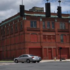
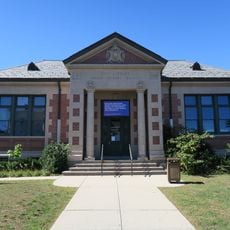
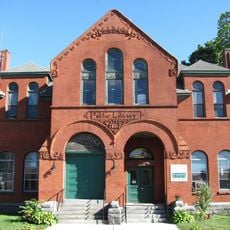
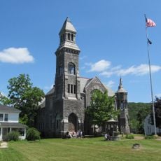
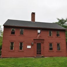
De naam Wilbraham komt uit de kolonisatietijd en de gemeenschap stelt grote waarde op buurverbindingen en gedeelde tradities. De stad toont zijn New England-karakter door kleine kerken, oude schoolgebouwen en klassieke huizen die het dagelijks leven van bewoners weerspiegelen.
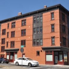
De stad is gemakkelijk bereikbaar vanuit nabijgelegen steden maar blijft rustig en ontspannen, met basisvoorzieningen zoals scholen, kleine winkels en restaurants voor dagelijkse behoeften. De meeste mensen rijden naar nabijgelegen steden voor grotere boodschappen of entertainment, waardoor een auto praktisch is.
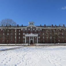
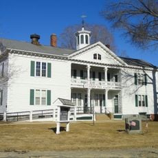
De stad was thuisbasis van de in 1825 opgerichte Wesleyan Academy, een school van historisch belang voor onderwijs in de regio. Deze instelling vormde de lokale ontwikkeling en toonde aan hoe vroege inwoners onderwijs waardeerden.
De community van nieuwsgierige reizigers
AroundUs brengt duizenden geselecteerde plaatsen, lokale tips en verborgen pareltjes samen, dagelijks verrijkt door meer dan 60,000 bijdragers wereldwijd.