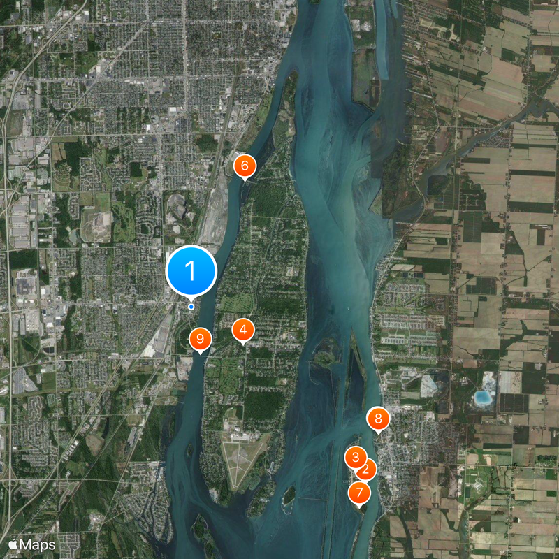
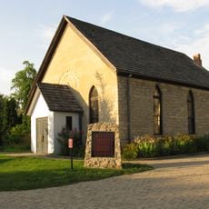
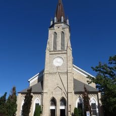
Trenton, Michigan
Locatie: Wayne County
Ontstaan: 1855
Hoogte boven de zeespiegel: 182 m
Website: http://trentonmi.org
GPS-coördinaten: 42.13944,-83.17833
Laatste update: 27 mei 2025 om 12:46
Boblo Island Amusement Park
7.1 km
Bois Blanc Island
6.7 km
Grosse Ile
1.8 km
Fort Malden
6.5 km
Grosse Ile Toll Bridge
4 km
Bois Blanc Island Lighthouse and Blockhouse
7.5 km
Fort Amherstburg
6.5 km
Wayne County Bridge
1.3 km
Sugar Island
6 km
Amherstburg Royal Naval Dockyard
6.8 km
East River Road Historic District
3.4 km
St. James Episcopal Church
3.4 km
Park House Museum
6.7 km
John and Emma Lacey Eberts House
7.9 km
Calf Island
4 km
Wyandotte Odd Fellows Temple
7.7 km
Gibraltar Road–Waterway Canal Bridge
5 km
Fox Island
4.8 km
Parke Lane Road–Thorofare Canal Bridge
4.3 km
East River Road–North Hickory Canal Bridge
5.3 km
South Pointe Drive–Frenchman's Creek Bridge
4.1 km
Ferry Street–Thorofare Canal Bridge
1.8 km
R.P. McMurphy's
7.6 km
Amherstburg First Baptist Church
7.3 km
Nazrey African Methodist Episcopal Church
7.3 km
Bois Blanc Island Lighthouse
7.6 km
St. John the Baptist Church
7.4 km
Southgate Tower
5.6 kmHeeft u deze plek bezocht? Tik op de sterren om een beoordeling te geven en uw ervaring of foto's te delen met de community! Probeer het nu! U kunt het op elk moment annuleren.
Ontdek verborgen schatten op elk avontuur!
Van karakteristieke kleine cafeetjes tot geheime uitzichtpunten – ontvlucht de drukte en vind plekken die echt bij jou passen. Onze app maakt het makkelijk: spraakzoekopdrachten, slimme filters, geoptimaliseerde routes en authentieke tips van reizigers wereldwijd. Download nu en beleef het avontuur op je smartphone!
Een nieuwe benadering van toeristische ontdekking❞
— Le Figaro
Alle plekken die de moeite waard zijn om te ontdekken❞
— France Info
Een uitstapje op maat in slechts een paar klikken❞
— 20 Minutes