
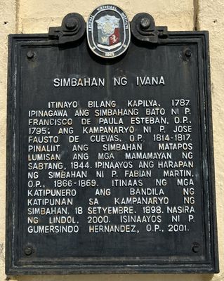
Church of Ivana historical marker
Church of Ivana historical marker, NHI historical marker for Ivana Church
Locatie: Ivana
Ontstaan: 2008
Maker: National Historical Commission of the Philippines
Gemaakt van: cast iron
Adres: National Road
GPS-coördinaten: 20.36631,121.91517
Laatste update: 8 maart 2025 om 23:14
Eluanbi Lighthouse
203.5 km
Smith Volcano
92.2 km
Mount Iraya
15 km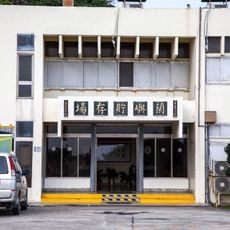
Low-Level Radioactive Waste Storage Site
185.4 km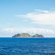
Lesser Orchid Island
179.1 km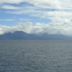
Camiguin de Babuyanes
170.7 km
Taiwan Southernmost Point
202.7 km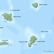
Babuyan Claro
93.7 km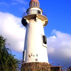
Basco Lighthouse
10.8 km
Cape Engaño Lighthouse
200.2 km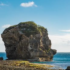
Sail Rock
207.8 km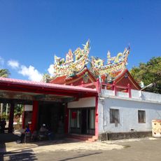
鵝鑾鼻保安宮
203.7 km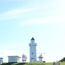
Lanyu Lighthouse
195.6 km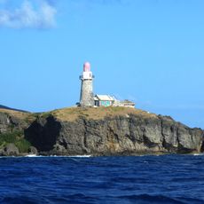
Sabtang Lighthouse
5.5 km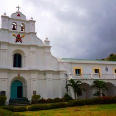
San Carlos Borromeo Parish Church
6.4 km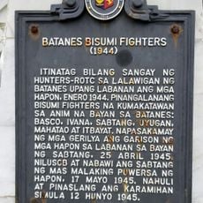
Batanes Bisumi Fighters historical marker
5.7 km
Kenan Aman Dangat historical marker
10.9 km
Cape Engaño Lighthouse historical marker
200.2 km
Eluanbi Park
203.4 km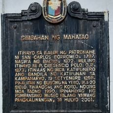
Church of Mahatao historical marker
6.4 km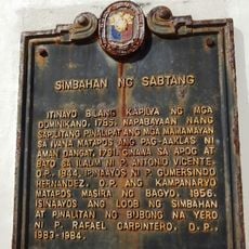
Church of Sabtang historical marker
5.7 km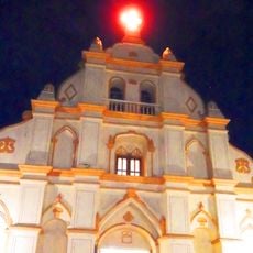
Church of Basco historical marker
11 km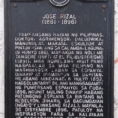
Jose Rizal historical marker
10.8 km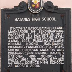
Batanes High School historical marker
10.8 km
Longpan Grassland
206.2 km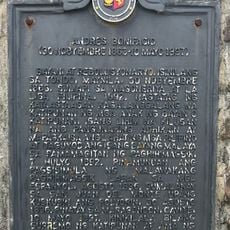
Andres Bonifacio historical marker
890 m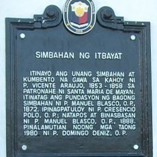
Church of Itbayat historical marker
47.4 km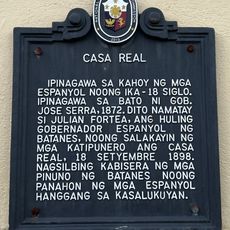
Casa Real historical marker
10.9 kmHeeft u deze plek bezocht? Tik op de sterren om een beoordeling te geven en uw ervaring of foto's te delen met de community! Probeer het nu! U kunt het op elk moment annuleren.
Ontdek verborgen schatten op elk avontuur!
Van karakteristieke kleine cafeetjes tot geheime uitzichtpunten – ontvlucht de drukte en vind plekken die echt bij jou passen. Onze app maakt het makkelijk: spraakzoekopdrachten, slimme filters, geoptimaliseerde routes en authentieke tips van reizigers wereldwijd. Download nu en beleef het avontuur op je smartphone!

Een nieuwe benadering van toeristische ontdekking❞
— Le Figaro
Alle plekken die de moeite waard zijn om te ontdekken❞
— France Info
Een uitstapje op maat in slechts een paar klikken❞
— 20 Minutes