Calaca, gemeente in Batangas
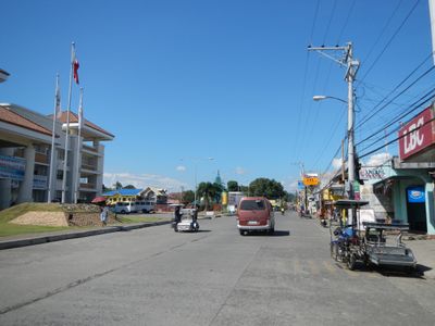
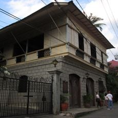
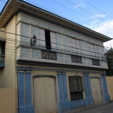
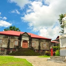
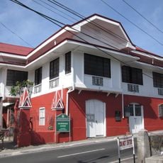
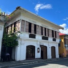
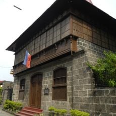
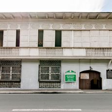
Calaca is een componentstad in het zuidelijke deel van de provincie Batangas op de Filipijnen. De straten tonen een mengeling van oude en nieuwe gebouwen, met lokale markten en kleine winkels, terwijl mensen te voet, per fiets of via openbaar vervoer zoals jeepneys en tricycles rondgaan. De stad heeft zacht golvende heuvels.
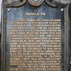
Calaca werd in 1835 opgericht als kleine gemeenschap en groeide geleidelijk in de loop der tijd. De groei werd bepaald door lokale landbouw en nabijheid van grotere steden, en bleef decennialang een rustig landbouwdorp. In 2022 werd het officieel erkend als stad.
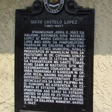
De naam Calaca komt uit een verhaal over timmerlieden. Toen een Spaanse ambtenaar aan een lokale timmerman vroeg wat hij maakte, antwoordde deze 'calaca' zonder de vraag te begrijpen. De naam bleef hangen en maakt nog steeds deel uit van de identiteit van de plaats.
Verplaatsing in Calaca gebeurt te voet, per fiets of met openbaar vervoer zoals jeepneys en tricicles. Het warme klimaat het hele jaar door maakt de vroege ochtenduren of late namiddagen ideaal voor verkenning, en de kleine omvang van de stad maakt de meeste plaatsen gemakkelijk bereikbaar.
Calaca herbergt het Calacatchara-festival, genoemd naar een lokale chutney, met kleurrijke straatdansen en festiviteiten. De vrolijke muziek en traditionele kostuums tijdens deze feestelijkheden laten zien hoe de gemeenschap bijeenkomt.
De community van nieuwsgierige reizigers
AroundUs brengt duizenden geselecteerde plaatsen, lokale tips en verborgen pareltjes samen, dagelijks verrijkt door meer dan 60,000 bijdragers wereldwijd.