Rosario, gemeente in de Filipijnse provincie La Union
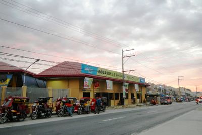
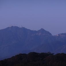
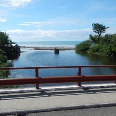
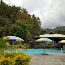
Rosario is een kuststad aan de zuidpunt van La Union op de Filipijnen. Het strekt zich uit van vlakke kust tot steile bergen landinwaarts, met verschillende rivieren die door het gebied stromen en rijstvelden en boerderijen die de nederzettingen omringen.
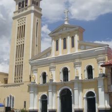
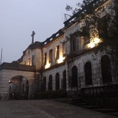
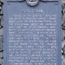
Rosario begon als een klein onderdeel van Santo Tomas en werd in 1869 officieel tot stad benoemd door Spaanse autoriteiten, met Agustin Isidro de Guzman aangesteld als eerste stadshoofd. Tijdens de Filippijnse Revolutie en de Tweede Wereldoorlog toonde de stad veerkracht terwijl inwoners tegen Spaanse strijdkrachten en later tegen Japanse bezetting vochten.
De naam Rosario verwijst naar wilde rozen die ooit langs de rivieren bloeiden, of naar heuvels die op afstand lijken op rozenkransparels. Deze verhalen verbinden de stad met haar natuurlijke landschap en de tradities van de eerste kolonisten die hier arriveerden en hun gemeenschappen opbouwden.
Bezoekers moeten weten dat het weer hier droog is in de zomer, terwijl het regenseizoen van mei tot oktober loopt en het landschap groenere maakt. De stad heeft 33 barangays, en het helpt om de lokale Ilocano-taal te begrijpen, hoewel veel mensen ook Tagalog en Engels spreken.
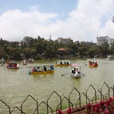
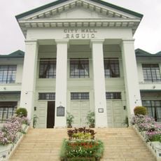
Rosario wordt vaak de Poort naar Ilocandia genoemd omdat het de meest zuidelijke stad in La Union is en belangrijke wegen van hier naar andere regio's leiden, inclusief de beroemde Kennon Road naar Baguio City. Deze geografische positie maakte het een belangrijk doorgangspost voor reizigers die zich tussen verschillende delen van Luzon verplaatsten.
De community van nieuwsgierige reizigers
AroundUs brengt duizenden geselecteerde plaatsen, lokale tips en verborgen pareltjes samen, dagelijks verrijkt door meer dan 60,000 bijdragers wereldwijd.