San Agustin, gemeente in de Filipijnse provincie Isabela
Locatie: Isabela
Hoogte boven de zeespiegel: 125 m
Grenst aan: Jones, Maddela, Echague
Website: http://sanagustin-isabela.gov.ph
GPS-coördinaten: 16.51667,121.75000
Laatste update: 7 maart 2025 om 21:48
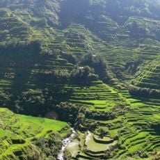
Rijstterrassen van Banaue
80.4 km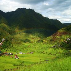
Rijstterrassen van de Filippijnse Cordilleras
80.2 km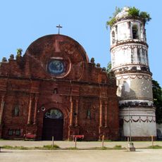
Tumauini Church
84.7 km
Bayombong Cathedral
64 km
Fuyot Springs National Park
77 km
Mount Guiwan
80.6 km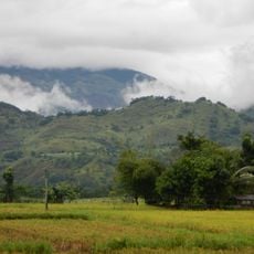
Salinas Natural Monument
79.8 km
Gamu Cathedral
64.6 km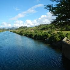
Casecnan Protected Landscape
62.7 km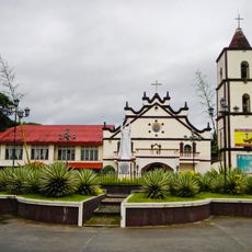
Saint Catherine of Siena Parish Church
70.4 km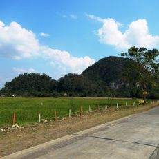
Quirino Protected Landscape
15.9 km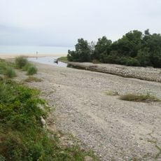
Dinadiawan River Protected Landscape
47.9 km
Batad Rice Terraces
80.2 km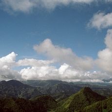
Mount Pulag National Park
80.6 km
Baler Church
86.7 km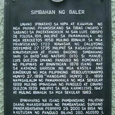
Church of Baler historical marker
86.7 km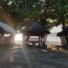
Casapsapan Beach
52.2 km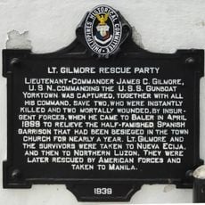
Lt. Gilmore Rescue Party historical marker
86.7 km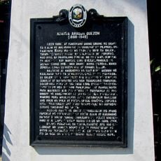
Aurora Aragon Quezon historical marker
86.7 km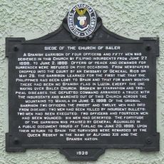
Siege of the Church of Baler historical marker
86.7 km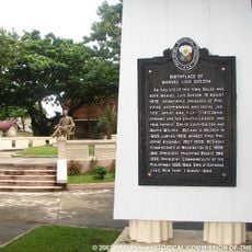
Birthplace of Manuel Luis Quezon historical marker
86.6 km
Church of Tumauini historical marker
84.6 km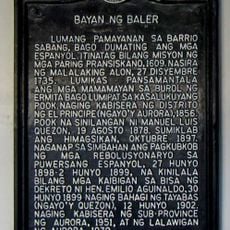
Town of Baler historical marker
86.7 km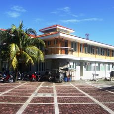
Baler Municipal Hall
86.7 km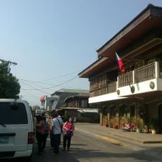
Balay Na Santiago
28.8 km
Surrender of General Yamashita historical marker
76.6 km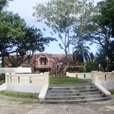
Quezon Park
86.6 km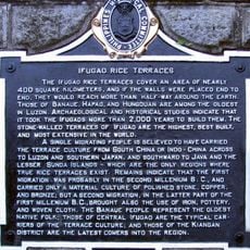
Ifugao Rice Terraces historical marker
85.6 kmHeeft u deze plek bezocht? Tik op de sterren om een beoordeling te geven en uw ervaring of foto's te delen met de community! Probeer het nu! U kunt het op elk moment annuleren.
Ontdek verborgen schatten op elk avontuur!
Van karakteristieke kleine cafeetjes tot geheime uitzichtpunten – ontvlucht de drukte en vind plekken die echt bij jou passen. Onze app maakt het makkelijk: spraakzoekopdrachten, slimme filters, geoptimaliseerde routes en authentieke tips van reizigers wereldwijd. Download nu en beleef het avontuur op je smartphone!

Een nieuwe benadering van toeristische ontdekking❞
— Le Figaro
Alle plekken die de moeite waard zijn om te ontdekken❞
— France Info
Een uitstapje op maat in slechts een paar klikken❞
— 20 Minutes