
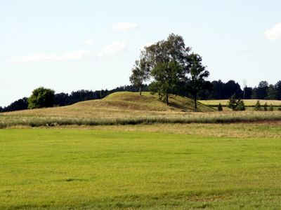
Normančiai hillfort
Locatie: Šiauliai District Municipality
Website: http://piliakalniai.lt/piliakalnis.php?piliakalnis_id=515
GPS-coördinaten: 55.79256,23.28472
Laatste update: 25 september 2025 om 08:40
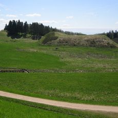
Bubiai hillfort
12.4 km
Kiaunoriai
12.1 km
Renavo eglė
12.2 km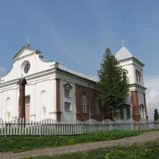
Church of St. Anthony of Padua, Aukštelkė
11.1 km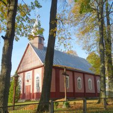
Church of St. Basil the Great, Bazilionai
9 km
Sodai
11.8 km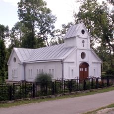
Church of St. Joseph the Worker, Rėkyva
8 km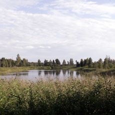
Piktmiškis
10.9 km
Gegužiai
11.1 km
Pašiaušės II tvenkinys
9.7 km
Albino pušis
11.8 km
Lieporiai
11.4 km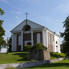
Church of St. Joseph, Kiaunoriai
12.2 km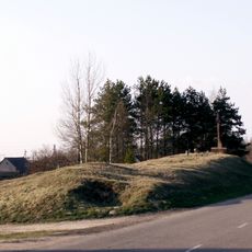
Johampolis hillfort
8.6 km
Bubių tuopos
11.2 km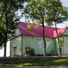
Church of the Assumption, Pakapė
968 m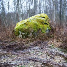
Pašimšės akmuo
9.4 km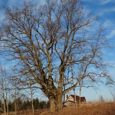
Visgirdų ąžuolas
9.8 km
Lieporių gyvenvietė
12.6 km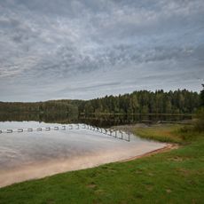
Pageluvis Landscape Reserve
11.8 km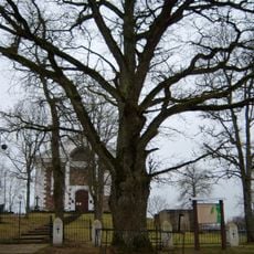
Kiaunorių ąžuolas
12.2 km
Bubių šešiakamienė eglė
12.4 km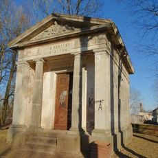
Polekėlės Daujotų koplyčia
6.3 km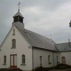
Church of the Heart of the Blessed Virgin Mary, Polekėlė
6.2 km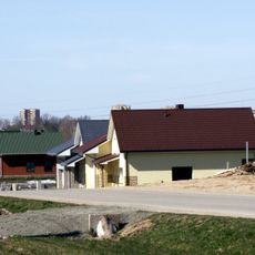
Verduliukai
11.4 km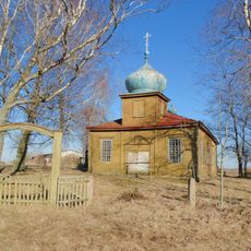
Old Believers Church in Sidariai
6.9 km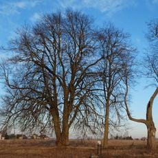
Lieporių liepos
11.8 km
Ventos-Dubysos perkaso pušys
11.7 kmHeeft u deze plek bezocht? Tik op de sterren om een beoordeling te geven en uw ervaring of foto's te delen met de community! Probeer het nu! U kunt het op elk moment annuleren.
Ontdek verborgen schatten op elk avontuur!
Van karakteristieke kleine cafeetjes tot geheime uitzichtpunten – ontvlucht de drukte en vind plekken die echt bij jou passen. Onze app maakt het makkelijk: spraakzoekopdrachten, slimme filters, geoptimaliseerde routes en authentieke tips van reizigers wereldwijd. Download nu en beleef het avontuur op je smartphone!

Een nieuwe benadering van toeristische ontdekking❞
— Le Figaro
Alle plekken die de moeite waard zijn om te ontdekken❞
— France Info
Een uitstapje op maat in slechts een paar klikken❞
— 20 Minutes