
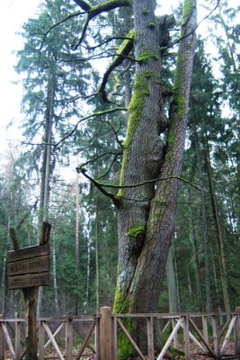
Dubravos dvyniai
Locatie: Kaunas District Municipality
GPS-coördinaten: 54.81778,24.12056
Laatste update: 25 september 2025 om 08:40
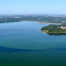
Kauno marios
4.9 km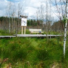
Dubrava Reserve
4.4 km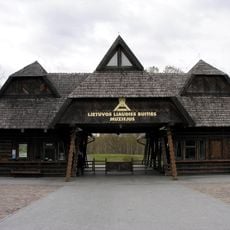
Open-Air Museum of Lithuania
7.5 km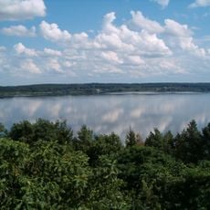
Kaunas Reservoir Regional Park
5.4 km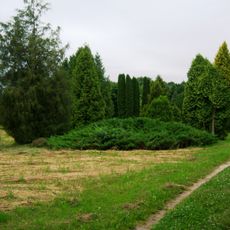
Dubrava arboretum
6.2 km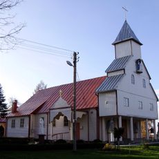
Church of the Visitation, Šlienava
6.7 km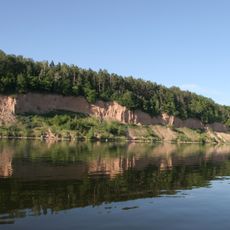
Gastilonys outcrop
6.3 km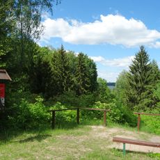
Girionys Park
6.8 km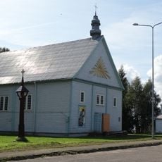
Church of St. Michael the Archangel, Rumšiškės
7 km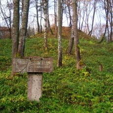
Samylai Hillfort
4.1 km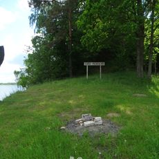
Guogai Hillfort
6.1 km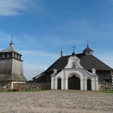
Old Church of Sasnava
7.1 km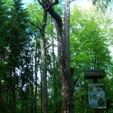
Rumšiškių miško pušis
6.7 km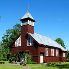
Viršužiglis chapel
4.9 km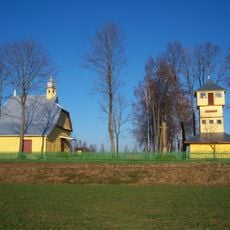
Church of Our Lady of the Scapular, Margininkai
5.4 km
Dovainonių piliakalnis
7.1 km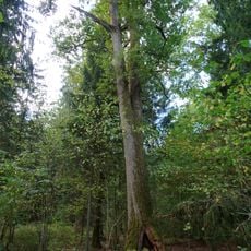
Rumšiškių miško ąžuolas
7 km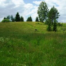
Dubravai hillfort
1.5 km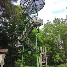
Rumšiškės Watchtower
6.5 km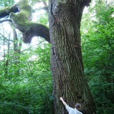
Gastilonys oak
6.4 km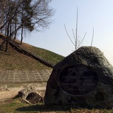
Rumšiškių piliakalnis
6.7 km
Piliuonos koplyčia
4.5 km
St. Anne Chapel, Rumšiškės
7 km
Dabinta hillfort
2.9 km
Varkališkės I hillfort
6.4 km
Kapitoniškių pilkapynas
5.4 km
Rumšiškių kapinynas
7 km
St. Anthony Chapel, Rumšiškės
7 kmBeoordelingen
Heeft u deze plek bezocht? Tik op de sterren om een beoordeling te geven en uw ervaring of foto's te delen met de community! Probeer het nu! U kunt het op elk moment annuleren.
Ontdek verborgen schatten op elk avontuur!
Van karakteristieke kleine cafeetjes tot geheime uitzichtpunten – ontvlucht de drukte en vind plekken die echt bij jou passen. Onze app maakt het makkelijk: spraakzoekopdrachten, slimme filters, geoptimaliseerde routes en authentieke tips van reizigers wereldwijd. Download nu en beleef het avontuur op je smartphone!

Een nieuwe benadering van toeristische ontdekking❞
— Le Figaro
Alle plekken die de moeite waard zijn om te ontdekken❞
— France Info
Een uitstapje op maat in slechts een paar klikken❞
— 20 Minutes