
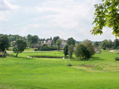
Daugailiai, plaats in Litouwen
Locatie: Utena District Municipality
Hoogte boven de zeespiegel: 170 m
GPS-coördinaten: 55.58889,25.83611
Laatste update: 11 maart 2025 om 14:42

Bikuškis Manor
9.3 km
Vasaknai Manor
11.2 km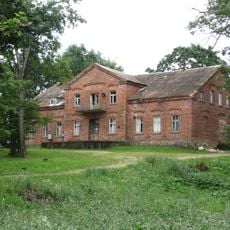
Jotaučiai Manor
8.7 km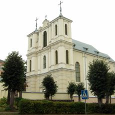
Church of the Discovery of the Holy Cross, Antalieptė
8.1 km
Maneičių piliakalnis
8.1 km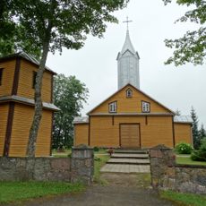
Church of the Blessed Virgin Mary, Queen of Peace, Spitrėnai
9.1 km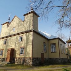
Church of St. John the Baptist, Vajasiškis
7.8 km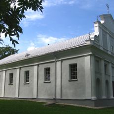
Church of the Blessed Virgin Mary, Sudeikiai
9.5 km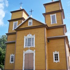
Church of St. Anthony of Padua, Daugailiai
52 m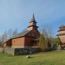
Church of St. Casimir, Baltriškės
12.9 km
Garnių piliakalniai
2.8 km
Verslavos piliakalnis
7.1 km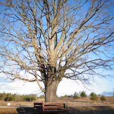
Kloviškių ąžuolas
7.3 km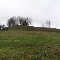
Daugailiai 1st hillfort
215 m
Kalviai hillfort
10.4 km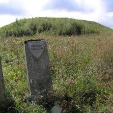
Gutaučiai hillfort
5.4 km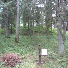
Lūžos hillfort
6.7 km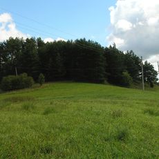
Zabičiūnai hillfort
8.4 km
Zokorių piliakalnis
9.6 km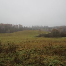
Šiukščiai hillfort
12.8 km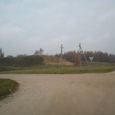
Spitrėnų piliakalnis
8.5 km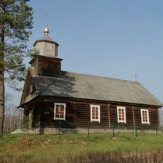
Old Believers Church in Nečėnai
11.2 km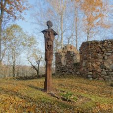
Taukeliai Chapel
3.4 km
Gatelių piliakalnis
8.2 km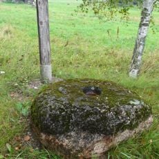
Spitrėnų akmenys su dubenimis
9.6 km
Brinkliškių piliakalnis
9.2 km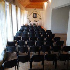
Radeikiai chapel
6.7 km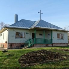
Juknėnai chapel
5.9 kmBeoordelingen
Heeft u deze plek bezocht? Tik op de sterren om een beoordeling te geven en uw ervaring of foto's te delen met de community! Probeer het nu! U kunt het op elk moment annuleren.
Ontdek verborgen schatten op elk avontuur!
Van karakteristieke kleine cafeetjes tot geheime uitzichtpunten – ontvlucht de drukte en vind plekken die echt bij jou passen. Onze app maakt het makkelijk: spraakzoekopdrachten, slimme filters, geoptimaliseerde routes en authentieke tips van reizigers wereldwijd. Download nu en beleef het avontuur op je smartphone!

Een nieuwe benadering van toeristische ontdekking❞
— Le Figaro
Alle plekken die de moeite waard zijn om te ontdekken❞
— France Info
Een uitstapje op maat in slechts een paar klikken❞
— 20 Minutes