
Kaltanėnai eldership, Seniūnija in Litouwen
Locatie: Švenčionys District Municipality
Hoofdstad: Kaltanėnai
GPS-coördinaten: 55.25713,25.97257
Laatste update: 19 maart 2025 om 10:27

Protected area of Lithuania
11.2 km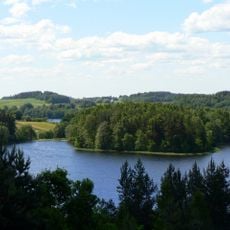
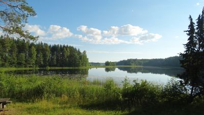
Nationaal Park Aukštaitija
11.1 km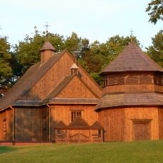
Church of St. Joseph, Palūšė
11.5 km
Ginučiai hillfort
13 km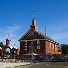
Church of the Nativity of the Virgin Mary, Labanoras
12.6 km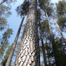
The highest pine of Lithuania
7.7 km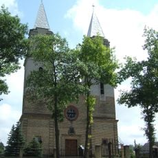
Church of Virgin Mary of Sorrows in Švenčionėliai
10.9 km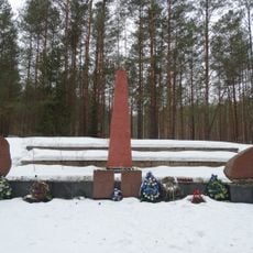
Švenčionėliai Holocaust Memorial
10 km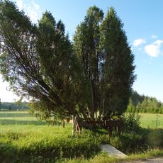
Obelų Ragas junipers
5.7 km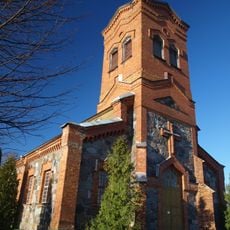
Church of the Holy Trinity, Linkmenys
7.3 km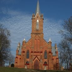
Church of Saint Mary of the Angels, Kaltanėnai
1.4 km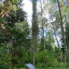
Gaigalinio kadagys
11.1 km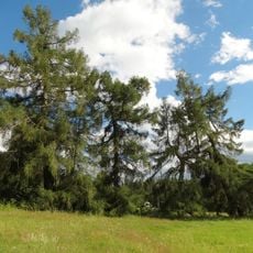
Januliškio maumedžiai
13.1 km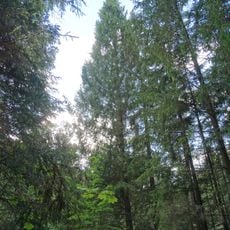
Peršokšnos piramidinė eglė
13.2 km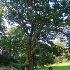
Palūšės ąžuolas
11.4 km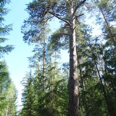
Labanoro pušys
7.4 km
Budrių piliakalnis
12.3 km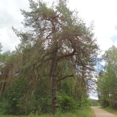
Lūšnios pušis
12.5 km
Pagilūtė Telmological Reserve
1.6 km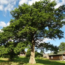
Kretuonių antrasis ąžuolas
5.7 km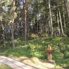
Papiliakalnė hillfort
13.2 km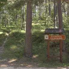
Puziniškis hillfort
11.9 km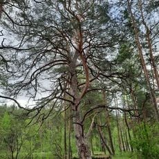
Asalnai pine
12.3 km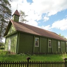
Januliškis chapel
13.1 km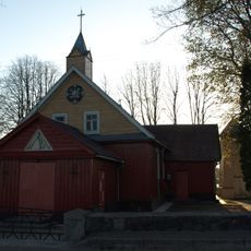
Church of Saint Isidore, Reškutėnai
9.2 km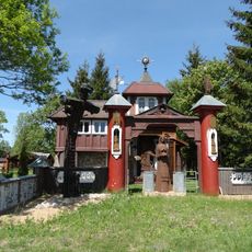
Jukiškės Chapel
12.8 km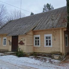
Reškutėnų muziejus
9.4 km
Kretuonų pilkapynas
4.5 kmBeoordelingen
Heeft u deze plek bezocht? Tik op de sterren om een beoordeling te geven en uw ervaring of foto's te delen met de community! Probeer het nu! U kunt het op elk moment annuleren.
Ontdek verborgen schatten op elk avontuur!
Van karakteristieke kleine cafeetjes tot geheime uitzichtpunten – ontvlucht de drukte en vind plekken die echt bij jou passen. Onze app maakt het makkelijk: spraakzoekopdrachten, slimme filters, geoptimaliseerde routes en authentieke tips van reizigers wereldwijd. Download nu en beleef het avontuur op je smartphone!

Een nieuwe benadering van toeristische ontdekking❞
— Le Figaro
Alle plekken die de moeite waard zijn om te ontdekken❞
— France Info
Een uitstapje op maat in slechts een paar klikken❞
— 20 Minutes