
Teneniai, plaats in Litouwen
Locatie: Šilalė District Municipality
Hoogte boven de zeespiegel: 75 m
GPS-coördinaten: 55.46110,21.91390
Laatste update: 5 maart 2025 om 12:57
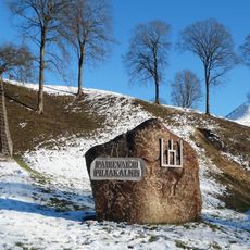
Padievaitis hillfort
10 km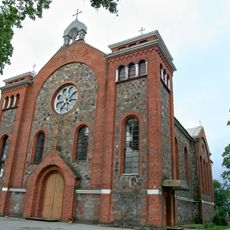
Church of the Immaculate Conception, Kvėdarna
11.6 km
Vilkų Lauko piliakalnis
12.3 km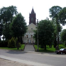
Church of the Holy Trinity, Pajūris
7.2 km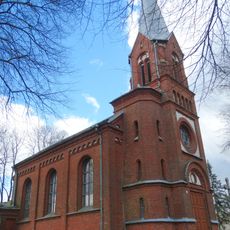
Church of St. Joachim, Pajūralis
9.6 km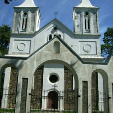
Church of St. John the Baptist, Vainutas
11 km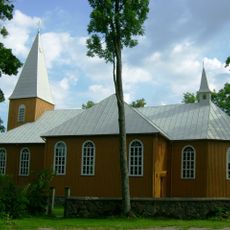
Church of the Exaltation of the Holy Cross in Žvingiai
9.5 km
Pakisys hillfort
6.7 km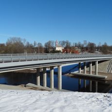
Pajūris bridge
7 km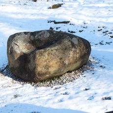
Padievaitis stone
10 km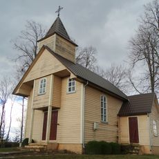
Chapel of Ignatius of Antioch, Paskarbiškiai
7 km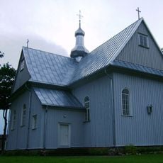
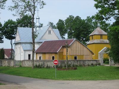
Church of St. Barbara, Teneniai
144 m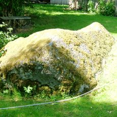
Kunigiškių akmuo
6.5 km
Keberkščiai Big stone
9.8 km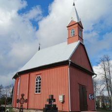
Kvėdarna cemetery chapel
11.4 km
Dapkiškė hillfort
7.9 km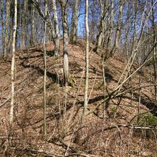
Lileikėnai hillfort
7.4 km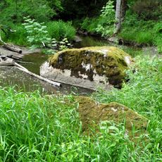
Ilgotis stones
10.6 km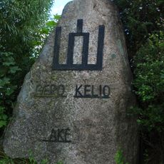
Šakėnai stone
9.1 km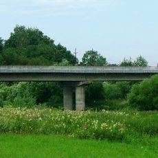
Žvingių tiltas
9.2 km
Gūvainių piliakalnis
9.5 km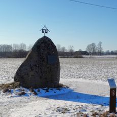
Gūvainiai stone
9.7 km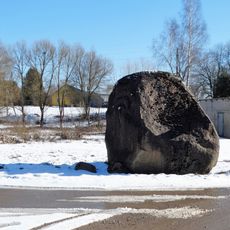
Drobūkščiai stone
10.7 km
Pavėžio piliakalnis
11 km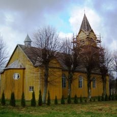
Church of St. Aloysius, Stemplės
8.9 km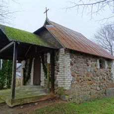
Visbarai chapel
12.7 km
Ginučių pilkapynai
9.9 km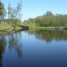
Jomantų tvenkinys
5.6 kmHeeft u deze plek bezocht? Tik op de sterren om een beoordeling te geven en uw ervaring of foto's te delen met de community! Probeer het nu! U kunt het op elk moment annuleren.
Ontdek verborgen schatten op elk avontuur!
Van karakteristieke kleine cafeetjes tot geheime uitzichtpunten – ontvlucht de drukte en vind plekken die echt bij jou passen. Onze app maakt het makkelijk: spraakzoekopdrachten, slimme filters, geoptimaliseerde routes en authentieke tips van reizigers wereldwijd. Download nu en beleef het avontuur op je smartphone!

Een nieuwe benadering van toeristische ontdekking❞
— Le Figaro
Alle plekken die de moeite waard zijn om te ontdekken❞
— France Info
Een uitstapje op maat in slechts een paar klikken❞
— 20 Minutes