Daubenai Landscape Reserve
Locatie: Vilnius District Municipality
GPS-coördinaten: 54.58000,25.45639
Laatste update: 5 april 2025 om 21:27
Aukštojas
12.4 km
Nemėžis Manor
8.5 km
Aukštasis Pavilnys
12.1 km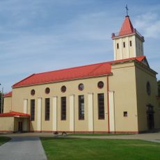
Church of the Blessed Virgin Mary, Queen of Peace, Naujoji Vilnia
12 km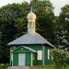
Mosque in Nemėžis
8.9 km
Žemasis Pavilnys
12.8 km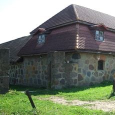
Peteša Manor
7.2 km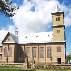
Church of Our Lady of Good Counsel, Rudamina
7.1 km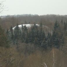
Rokantiškės hillfort
12.1 km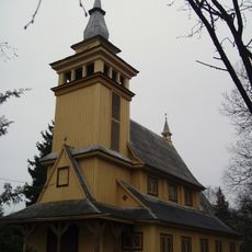
Pavilnys church
12.2 km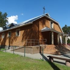
Blessed Michał Sopoćko church in Juodšiliai
12.7 km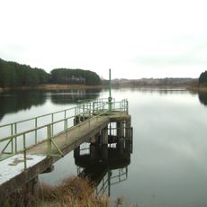
Kūlių tvenkinys
6.4 km
Markučiai Landscape Reserve
12.8 km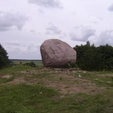
Juozapine Geomorphological Reserve
12.5 km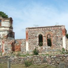
Orthodox church of the Transfiguration of Jesus Christ in Rudamina
6.5 km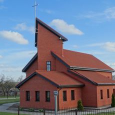
Saint Raphael Kalinowski church in Nemėžis
9.1 km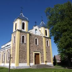
Church of St. Michael the Archangel, Rukainiai
5 km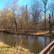
Naujoji Vilnia Park
12.7 km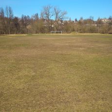
Naujoji Vilnia Old Stadium
12.8 km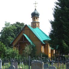
Saint Nicholas Orthodox church in Rudamina
6.3 km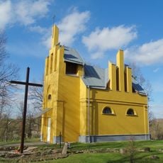
Chapel in Skaidiškės
5.8 km
Tuputiškiai Geomorphological Reserve
12.3 km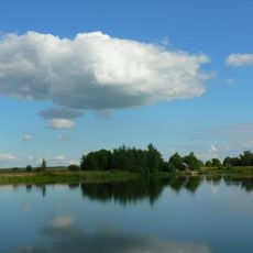
Kyviškių tvenkinys
10.5 km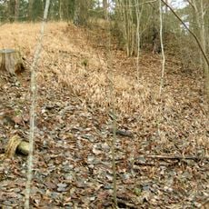
Mūrininkai Mound
6.3 km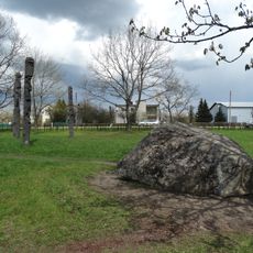
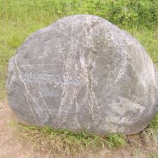
Marijampolio akmuo
10.1 km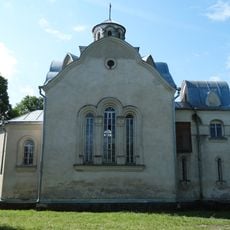
Chapel in Vėliučionys
8.9 km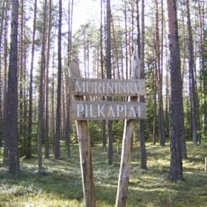
Mūrininkų pilkapiai
6.3 km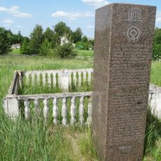
Paliepiukai geodetic marker
6 kmBeoordelingen
Heeft u deze plek bezocht? Tik op de sterren om een beoordeling te geven en uw ervaring of foto's te delen met de community! Probeer het nu! U kunt het op elk moment annuleren.
Ontdek verborgen schatten op elk avontuur!
Van karakteristieke kleine cafeetjes tot geheime uitzichtpunten – ontvlucht de drukte en vind plekken die echt bij jou passen. Onze app maakt het makkelijk: spraakzoekopdrachten, slimme filters, geoptimaliseerde routes en authentieke tips van reizigers wereldwijd. Download nu en beleef het avontuur op je smartphone!

Een nieuwe benadering van toeristische ontdekking❞
— Le Figaro
Alle plekken die de moeite waard zijn om te ontdekken❞
— France Info
Een uitstapje op maat in slechts een paar klikken❞
— 20 Minutes