
Nemunaitis, stad in Litouwen
Locatie: Alytus District Municipality
Hoogte boven de zeespiegel: 90 m
GPS-coördinaten: 54.30000,24.02778
Laatste update: 4 april 2025 om 23:02
Baltosios rožės tiltas
11 km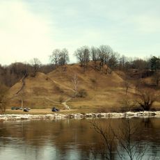
Alytus hillfort
11.3 km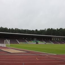
Alytusstadion
10.4 km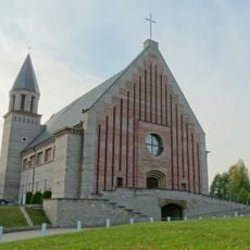
Church of the Blessed Virgin Mary, Help of Christians, Alytus
11.2 km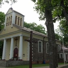
Church of St. Louis, Alytus
11.8 km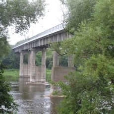
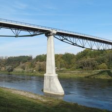
Antano Juozapavičiaus Bridge
11.4 km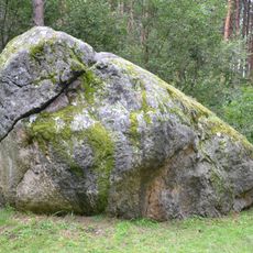
The great boulder of Dzukija
3.1 km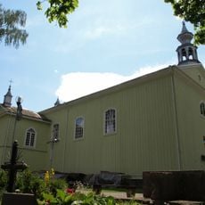
Church of the Holy Guardian Angels, Alytus
11.1 km
Noriūnai forest spruce
3.3 km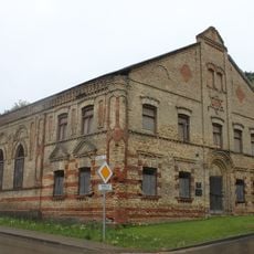
Alytus Synagogue
11.3 km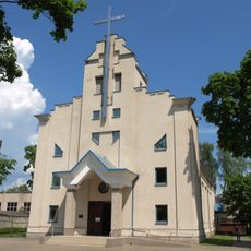
Church of St. Casimir, Alytus
9.5 km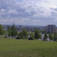
Dainava
11.4 km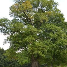
The old elm of Geisciunai
3.7 km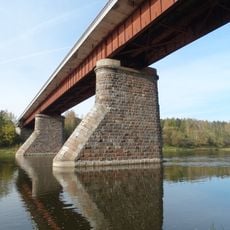
Kaniūkai bridge
8.6 km
Radžiūnai hillfort
8.4 km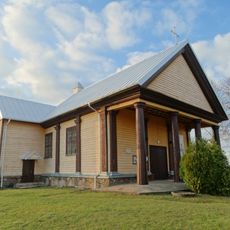
Church of the Holy Trinity, Alovė
10.9 km
The old Kaunas apple tree
3.7 km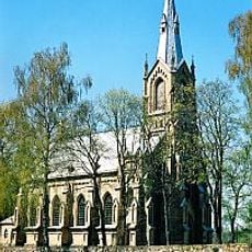
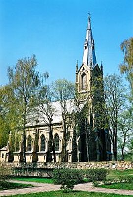
Church of the Nativity of the Virgin Mary, Nemunaitis
611 m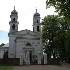
Church of the Holy Trinity, Miroslavas
9.3 km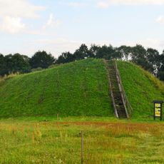
Poteronys hillfort
10.2 km
Balkasodžio gyvenvietė
4.2 km
Olakalnis
9 km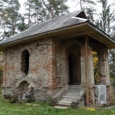
Chapel in Balkasodis
5.3 km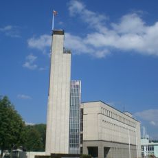
Rathaus Alytus
10.8 km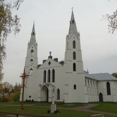
Church of the transfiguration of Jesus Christ in Krikštonys
11.6 km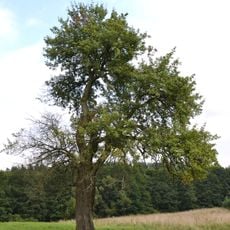
Senoji kriaušė
3.7 km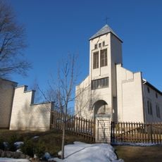
Church of St. Monica, Ryliškiai
9.1 km
Žilvės piliakalnis
4.8 kmBeoordelingen
Heeft u deze plek bezocht? Tik op de sterren om een beoordeling te geven en uw ervaring of foto's te delen met de community! Probeer het nu! U kunt het op elk moment annuleren.
Ontdek verborgen schatten op elk avontuur!
Van karakteristieke kleine cafeetjes tot geheime uitzichtpunten – ontvlucht de drukte en vind plekken die echt bij jou passen. Onze app maakt het makkelijk: spraakzoekopdrachten, slimme filters, geoptimaliseerde routes en authentieke tips van reizigers wereldwijd. Download nu en beleef het avontuur op je smartphone!

Een nieuwe benadering van toeristische ontdekking❞
— Le Figaro
Alle plekken die de moeite waard zijn om te ontdekken❞
— France Info
Een uitstapje op maat in slechts een paar klikken❞
— 20 Minutes