
Šalčininkai, stad in Litouwen
Locatie: Šalčininkai District Municipality
Hoogte boven de zeespiegel: 181 m
Website: http://salcininkai.lt
GPS-coördinaten: 54.31111,25.38056
Laatste update: 16 april 2025 om 16:19
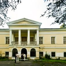
Jašiūnai Manor
14.6 km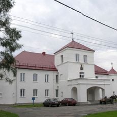
Hajciuniški Castle
7.5 km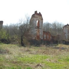
Merkinė Manor
17.2 km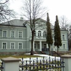
Šalčininkai Manor
835 m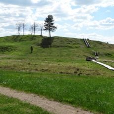
Bėčionys hillfort
17.5 km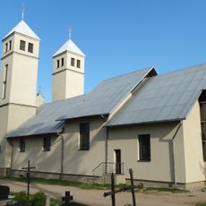
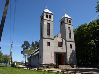
Church of St. Peter, Šalčininkai
1.4 km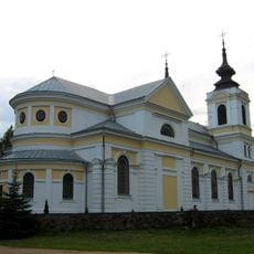
Church of Saint John the Baptist in Bieniakoni
7.3 km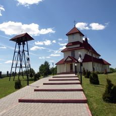
Church of St. Anne, Jašiūnai
14.8 km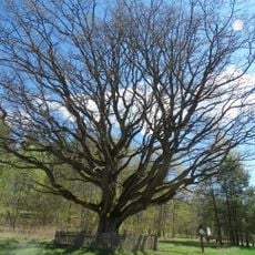
Stakai oak
11.4 km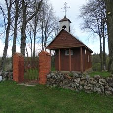
Chapel, Sangėliškės
8.5 km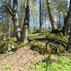
Stakų konglomerato luistai
11.4 km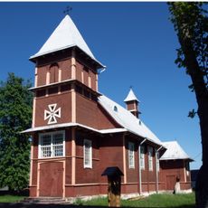
Saint Therese of the Child Jesus church in Akmenynė
10.4 km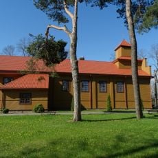
Church of St. Michael the Archangel, Butrimonys
15.4 km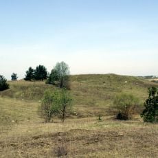
Turgeliai hillfort
17.1 km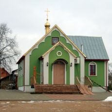
Saint Tikhon of Moscow Orthodox chapel in Šalčininkai
1 km
Rezius
17.6 km
Kurmelionys hillfort
13.7 km
Church of St. George, Šalčininkėliai
7.4 km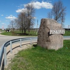
Poškonių akmuo
15.9 km
Kaniūkų akmuo
9.3 km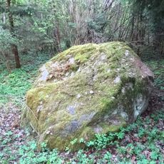
Cegelnios akmuo
4.6 km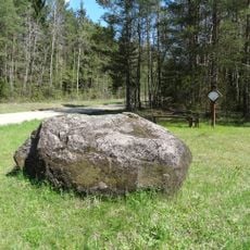
Dailidžių stone
13 km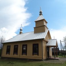
Old Believers Church in Gojus
12.6 km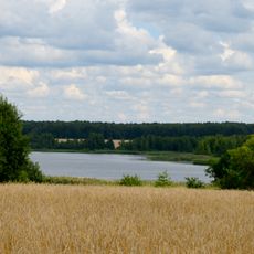
Jurgionių tvenkinys
14.2 km
Stakai Landscape Reserve
11.2 km
Reformed church in Hajciuniški
7.5 km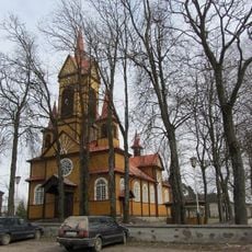
Касцёл Найсвяцейшага Сэрца Ісуса
10.8 km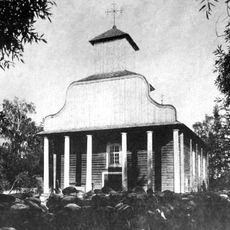
Стары Касцёл Святога Яна Хрысціцеля, Беняконі
6.6 kmHeeft u deze plek bezocht? Tik op de sterren om een beoordeling te geven en uw ervaring of foto's te delen met de community! Probeer het nu! U kunt het op elk moment annuleren.
Ontdek verborgen schatten op elk avontuur!
Van karakteristieke kleine cafeetjes tot geheime uitzichtpunten – ontvlucht de drukte en vind plekken die echt bij jou passen. Onze app maakt het makkelijk: spraakzoekopdrachten, slimme filters, geoptimaliseerde routes en authentieke tips van reizigers wereldwijd. Download nu en beleef het avontuur op je smartphone!

Een nieuwe benadering van toeristische ontdekking❞
— Le Figaro
Alle plekken die de moeite waard zijn om te ontdekken❞
— France Info
Een uitstapje op maat in slechts een paar klikken❞
— 20 Minutes