
Rūdiškės, nederzetting in Litouwen
Locatie: Trakai District Municipality
Ontstaan: 1774
Hoogte boven de zeespiegel: 147 m
GPS-coördinaten: 54.51389,24.82778
Laatste update: 4 maart 2025 om 23:26
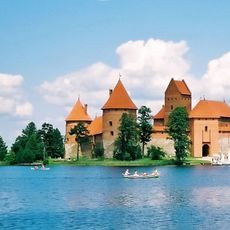
Kasteel Trakai
16.9 km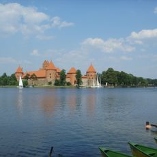
Nationaal Park Trakai
15.6 km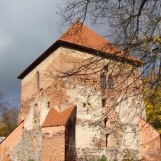
Trakai Peninsula Castle
16.3 km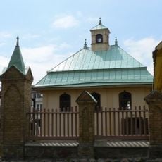
Trakai Kenesa
16.4 km
Senieji Trakai Castle
14.3 km
Aukštadvaris Regional Park
16.6 km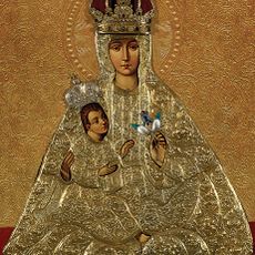
De Moeder van God van Trakai
15.9 km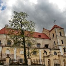
Church of the Visitation, Trakai
15.9 km
Church of St. Philip and St. Jacob, Onuškis
15.5 kmStrėvos įgriuva
11.8 km
Varnikai Botanical-Zoological Preserve
17 kmSenųjų Trakų Viešpaties Apreiškimo vienuolynas
14.3 km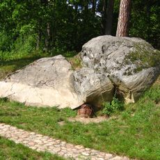
Nikronių akmuo
15.6 km
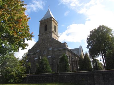
Church of the Sacred Heart of Jesus, Rūdiškės
186 m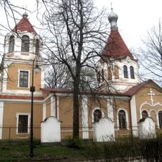
Orthodox church in Trakai
15.7 km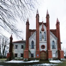
Church of the Annunciation, Senieji Trakai
14.3 km
Isper
12.6 km
Daugirdiškės manor
15.4 km
Strėva hillfort
12 km
Church of St. Anthony of Padua, Vytautava
8.1 km
Ilgutis Botanical Reserve
6.4 km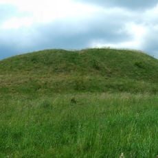
Žuklijai 1st hillfort
9.4 km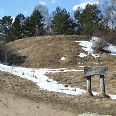
Varnikai hillfort
17 km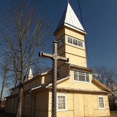
Church of St. John the Baptist, Paluknys
10.3 km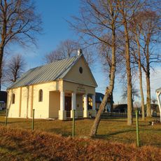
Gojus chapel
9 kmMirgelių piliakalnis
17.1 kmII grodzisko Żukleje
9.5 kmSenųjų Macelių pilkapynas
16 kmHeeft u deze plek bezocht? Tik op de sterren om een beoordeling te geven en uw ervaring of foto's te delen met de community! Probeer het nu! U kunt het op elk moment annuleren.
Ontdek verborgen schatten op elk avontuur!
Van karakteristieke kleine cafeetjes tot geheime uitzichtpunten – ontvlucht de drukte en vind plekken die echt bij jou passen. Onze app maakt het makkelijk: spraakzoekopdrachten, slimme filters, geoptimaliseerde routes en authentieke tips van reizigers wereldwijd. Download nu en beleef het avontuur op je smartphone!

Een nieuwe benadering van toeristische ontdekking❞
— Le Figaro
Alle plekken die de moeite waard zijn om te ontdekken❞
— France Info
Een uitstapje op maat in slechts een paar klikken❞
— 20 Minutes