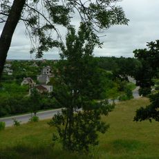
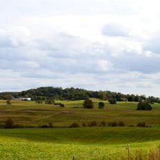
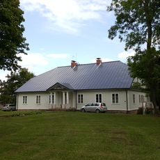
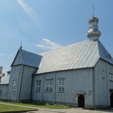
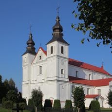
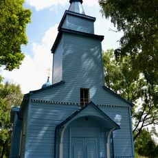
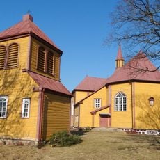
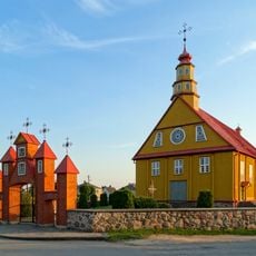
Telšiai, gemeente
Locatie: Lithuania
Ontstaan: 20 juni 1950
Hoofdstad: Telšiai
Hoogte boven de zeespiegel: 156,555 m
Grenst aan: Šilalė District Municipality, Plungė District Municipality, Rietavas Municipality, Mažeikiai District Municipality, Akmenė District Municipality, Šiauliai District Municipality, Kelmė District Municipality
E-mail: info@telsiai.lt
Website: https://telsiai.lt
GPS-coördinaten: 55.88333,22.38333
Laatste update: 13 maart 2025 om 07:10
Šatrija
11 km
Lopaičiai hillfort
19.7 km
Biržuvėnai manor
4.9 km
Regionaal park Varniai
18.6 km
Panų kalnas
29.4 km
Plinkšės Manor
31.7 km
Užventis manor
20.2 km
Sint-Antoniuskathedraal
14 km
Chapel in Rainiai
10.6 km
Sprūdė
12.8 km
Džiuginėnai hillfort
16.7 km
Church of the Assumption of the Blessed Virgin Mary into Heaven
13.7 km
Girgždūtė
22.2 km
Pavirvyčio dvaras
21.5 km
Church of St. Mary Magdalene, Užventis
20.4 km
Church of St. Peter and St. Paul, Varniai
15.6 km
Orthodox church in Kolainiai
20.4 km
Moteraitis
15.2 km
Samogitian Diocese Museum
15.5 km
Ruskis Landscape Reserve
18.7 km
Church of All Saints, Luokė
9 km
Tryškių akmuo
22.9 km
Church of St. Alexander, Varniai
15.8 km
Orthodox church in Telšiai
14.5 km
Vembūtų piliakalnis
18.6 km
Martyno pušis
20.2 km
Minija Effusion Landscape Reserve
16.1 km
Duonkalnis
12.4 kmBeoordelingen
Heeft u deze plek bezocht? Tik op de sterren om een beoordeling te geven en uw ervaring of foto's te delen met de community! Probeer het nu! U kunt het op elk moment annuleren.
Ontdek verborgen schatten op elk avontuur!
Van karakteristieke kleine cafeetjes tot geheime uitzichtpunten – ontvlucht de drukte en vind plekken die echt bij jou passen. Onze app maakt het makkelijk: spraakzoekopdrachten, slimme filters, geoptimaliseerde routes en authentieke tips van reizigers wereldwijd. Download nu en beleef het avontuur op je smartphone!
Een nieuwe benadering van toeristische ontdekking❞
— Le Figaro
Alle plekken die de moeite waard zijn om te ontdekken❞
— France Info
Een uitstapje op maat in slechts een paar klikken❞
— 20 Minutes