Marta, Italiaanse gemeente
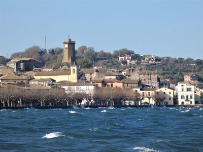
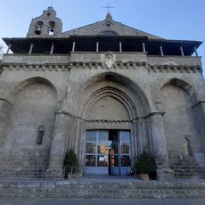
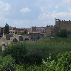
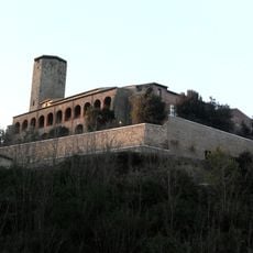
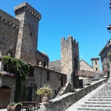
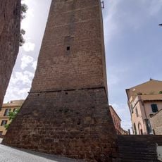
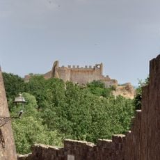
Marta is een gemeente in de provincie Viterbo, in Lazio, gelegen direct aan de oever van het Bolsenameer. Stenen steegjes lopen omhoog van de waterkant naar een middeleeuwse klokkentoren, de Torre dell'Orologio, die het hoogste punt van de oude stad markeert.
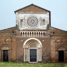
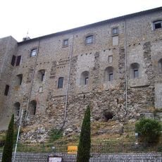
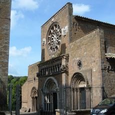
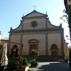
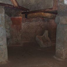
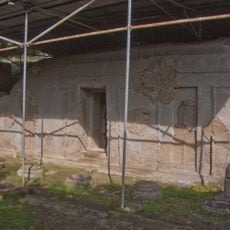
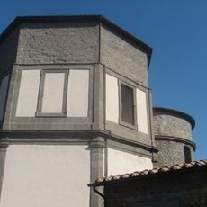
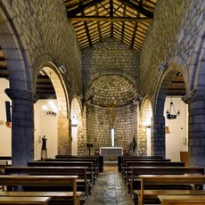
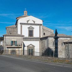
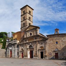
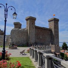
Marta ontwikkelde zich als een vis- en handelsnederzetting aan het Bolsenameer tijdens de middeleeuwen, toen het meer het grootste deel leverde van wat de gemeenschap nodig had. In de eeuwen daarna werden kerken en kleine vestingwerken toegevoegd, waardoor het dorp de gelaagde aanblik kreeg die het vandaag heeft.
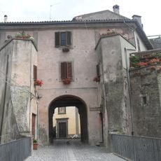
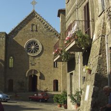
De naam Marta komt van de heilige Martha, de patrones van het dorp, wier feest elke mei de bewoners de straat op brengt voor een processie die de Barabbata wordt genoemd. Vrouwen in traditionele klederdracht dragen offergaven door de stegen, een gebruik dat al generaties lang op dezelfde manier wordt herhaald.
Marta ligt op ongeveer 20 km van Viterbo en is van daaruit bereikbaar met de bus of per auto. Een bezoek tussen mei en oktober maakt het ook mogelijk om van de oever te genieten, omdat het weer dan wandelen langs het water of een tochtje per boot mogelijk maakt.
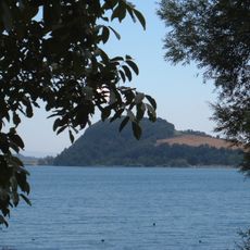
Het Bolsenameer, aan wiens oever Marta ligt, is een van de grootste vulkanische kratermeren in Europa. Water uit ondergrondse bronnen voedt het meer en houdt het merkbaar koeler dan de meeste andere meren op hetzelfde moment van het jaar.
De community van nieuwsgierige reizigers
AroundUs brengt duizenden geselecteerde plaatsen, lokale tips en verborgen pareltjes samen, dagelijks verrijkt door meer dan 60,000 bijdragers wereldwijd.