
Livorno Ferraris, Italiaanse gemeente
Locatie: Province of Vercelli
Hoofdstad: Livorno Ferraris
Hoogte boven de zeespiegel: 188 m
Grenst aan: Bianzè, Crescentino, Fontanetto Po, Moncrivello, Trino, Cigliano, Lamporo, Saluggia
Website: http://comune.livornoferraris.vc.it
GPS-coördinaten: 45.28333,8.08333
Laatste update: 29 maart 2025 om 14:42
Lucedioklooster
12.7 km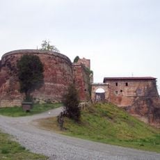
Rocca di Verrua
12.2 km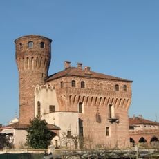
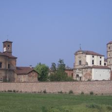
Castello di San Genuario
9.1 km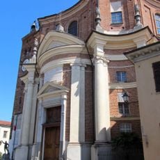
San Michele Arcangelo
7.7 km
Palazzo Chiablese
8.6 km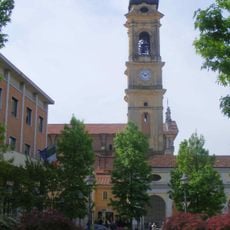
Chiesa di Sant'Emiliano
5.6 km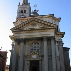
San Lorenzo Martire
365 m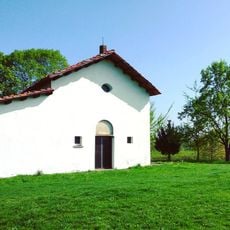
San Michele in Clivolo
6.7 km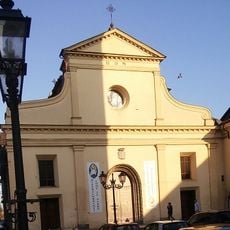
Chiesa della Beata Vergine Assunta
10.2 km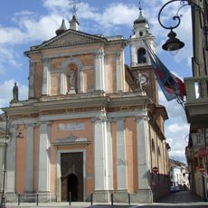
Chiesa dei Santi Pietro e Paolo
9.8 km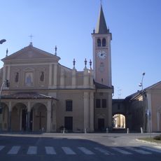
Chiesa di San Bernardo
6 km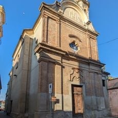
San Francesco
7.8 km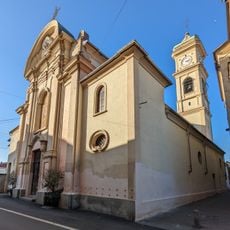
San Grato
7.8 km
San Giovanni Battista
7.8 km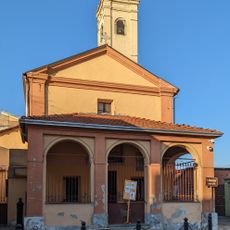
San Bonaventura
7.6 km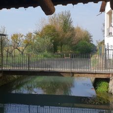
Mulino San Giovanni
13.3 km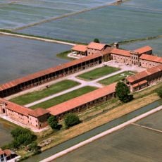
Tenuta Colombara
7.4 km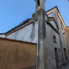
Santa Elisabetta
7.8 km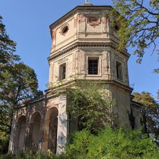
Church of The Holy Name of Mary
13.3 km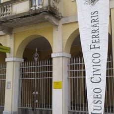
Museo sacrario "Galileo e Adamo Ferraris"
303 m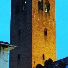
Torre civica
10.2 km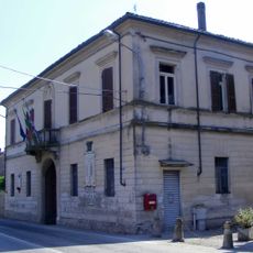
Town hall of Lamporo
6 km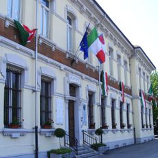
Town hall of Fontanetto Po
13.1 km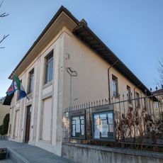
Town hall of Saluggia
7.7 km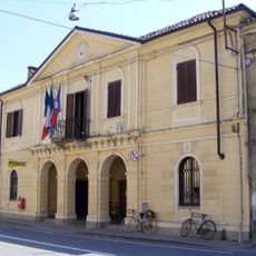
Town hall of Crova
11.3 km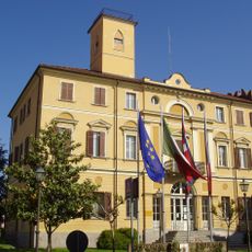
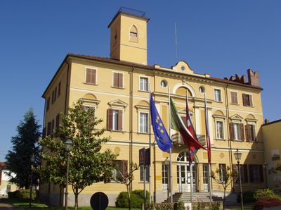
Town hall of Livorno Ferraris
213 m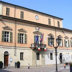
Town hall of Crescentino
10.3 km
Town hall of Cigliano
5.7 kmBeoordelingen
Heeft u deze plek bezocht? Tik op de sterren om een beoordeling te geven en uw ervaring of foto's te delen met de community! Probeer het nu! U kunt het op elk moment annuleren.
Ontdek verborgen schatten op elk avontuur!
Van karakteristieke kleine cafeetjes tot geheime uitzichtpunten – ontvlucht de drukte en vind plekken die echt bij jou passen. Onze app maakt het makkelijk: spraakzoekopdrachten, slimme filters, geoptimaliseerde routes en authentieke tips van reizigers wereldwijd. Download nu en beleef het avontuur op je smartphone!

Een nieuwe benadering van toeristische ontdekking❞
— Le Figaro
Alle plekken die de moeite waard zijn om te ontdekken❞
— France Info
Een uitstapje op maat in slechts een paar klikken❞
— 20 Minutes