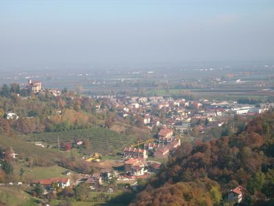
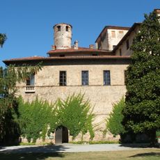
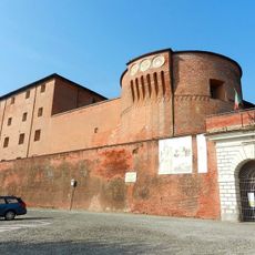
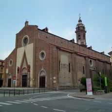
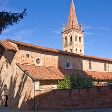
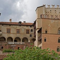
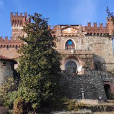
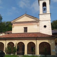
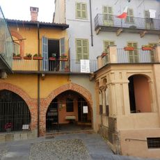
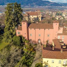
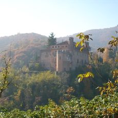
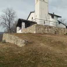
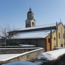
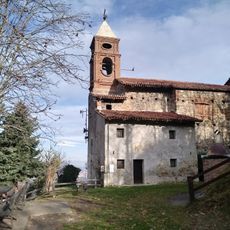
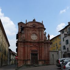
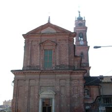
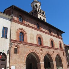
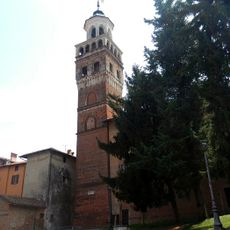
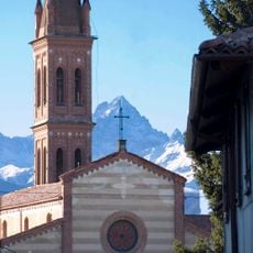
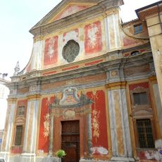
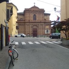
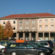
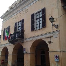
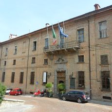
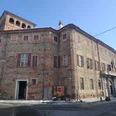
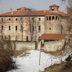
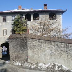
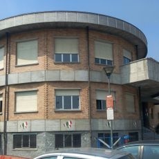
Manta, Italiaanse gemeente
De community van nieuwsgierige reizigers
AroundUs brengt duizenden geselecteerde plaatsen, lokale tips en verborgen pareltjes samen, dagelijks verrijkt door meer dan 60,000 bijdragers wereldwijd.
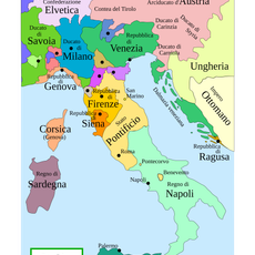
Locatie
Hoogte boven de zeespiegel
404 m
Grenst aan
Lagnasco, Pagno, Saluzzo, Verzuolo
Website
GPS-coördinaten
44.61667,7.48333
Laatste update
4 maart 2025 om 05:24