
Wa Municipal District, District of Ghana
Locatie: Upper West Region
Hoofdstad: Wa
GPS-coördinaten: 10.06670,-2.50000
Laatste update: 26 april 2025 om 20:30

Larabanga Mosque
117.4 km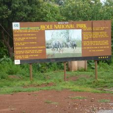
Mole National Park
83.7 km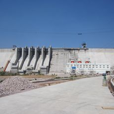
Bui Dam
201.2 km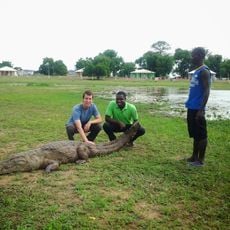
Paga Crocodile Pond
183.4 km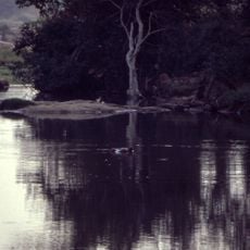
Nationaal park Comoé
172.1 km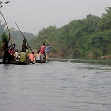
Bui National Park
197.3 km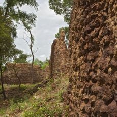
Ruins of Loropéni
119.6 km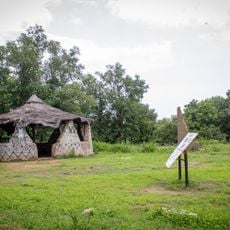
Pikworo Slave camp
181.3 km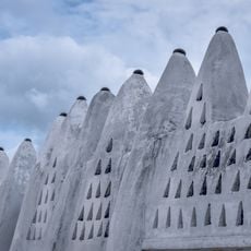
Wa Naa's Palace
338 m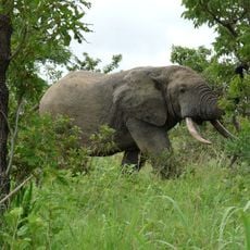
Nazinga Game Ranch
166.9 km
Kaboré Tambi National Park
207.9 km
Deux Balés National Park
185.3 km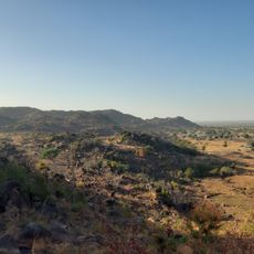
Tongo Hills
196.8 km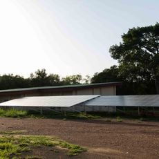
Comoé National Park Research Station
202.2 km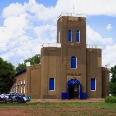
Cathedral Basilica of Our Lady of Seven Sorrows
180.3 km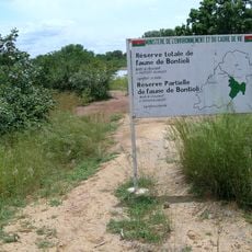
Bontioli Reserve
111.6 km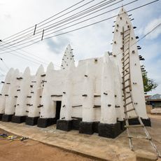
Maluwe Mosque
157.2 km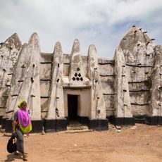
Bole Mosque
115.6 km
Zawara
191.3 km
Well of Hope
204 km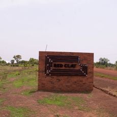
Red Clay Studio
198.1 km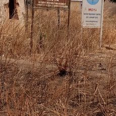
Moya
209.2 km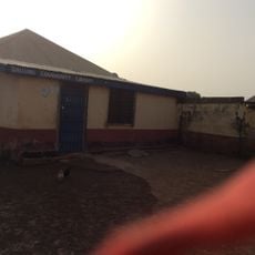
Dallung Community Library
170.5 km
Hiding Cave
196.3 km
Tiébélé Royal Court
204.4 km
Zonno Zoore
207.4 km
Ranch de gibier et forêt de Nazinga
163.2 km
Ruins of Loropéni
120.4 kmBeoordelingen
Heeft u deze plek bezocht? Tik op de sterren om een beoordeling te geven en uw ervaring of foto's te delen met de community! Probeer het nu! U kunt het op elk moment annuleren.
Ontdek verborgen schatten op elk avontuur!
Van karakteristieke kleine cafeetjes tot geheime uitzichtpunten – ontvlucht de drukte en vind plekken die echt bij jou passen. Onze app maakt het makkelijk: spraakzoekopdrachten, slimme filters, geoptimaliseerde routes en authentieke tips van reizigers wereldwijd. Download nu en beleef het avontuur op je smartphone!

Een nieuwe benadering van toeristische ontdekking❞
— Le Figaro
Alle plekken die de moeite waard zijn om te ontdekken❞
— France Info
Een uitstapje op maat in slechts een paar klikken❞
— 20 Minutes