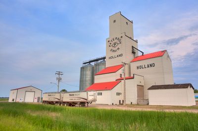
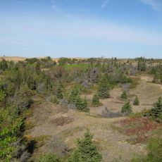
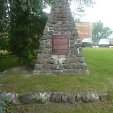
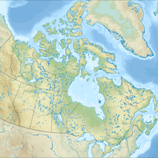
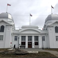
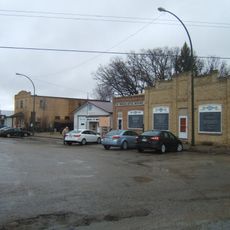
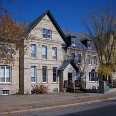
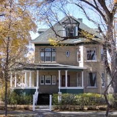
Victoria, rural municipality in Manitoba, Canada
Locatie: Manitoba
Grenst aan: Glenboro – South Cypress, North Cypress – Langford
Website: https://rmofvictoria.com
GPS-coördinaten: 49.66420,-98.89560
Laatste update: 3 maart 2025 om 23:30
Spruce Woods Provincial Park
15.4 km
Camp Hughes
53.1 km
Fort La Reine
51.8 km
Happy Rock
62 km
Manitoba Agricultural Museum
29.3 km
Art Gallery of Southwestern Manitoba
78.4 km
Assiniboine Corridor Wildlife Management Area
31 km
National Indigenous Residential School Museum of Canada
52.7 km
MacGregor Canadian Pacific Railway Water Tower
29.3 km
Yellow Quill Provincial Park
52 km
Brandon Central Fire Station
78.3 km
Roxy Theatre
74.8 km
Maley House
78.7 km
Flee Island Dakota Entrenchment
72.3 km
Burchill and Howey Block
78.6 km
Neepawa Courthouse
74.9 km
Portage la Prairie Public Building
55.6 km
Dominion Exhibition Display Building II
78.6 km
Wawanesa Mutual Insurance Company Building
57.4 km
Lorne Terrace
78.7 km
Johnson House
78.2 km
Fraser Block
78.7 km
Brandon Mental Health Centre Nurses' Residence
78.2 km
A.E. McKenzie Company Building
78.6 km
Villa Louise, Dr. Alexander Fleming House
78.3 km
Margaret Laurence House
75.3 km
Merchants Bank Building
78.7 km
Paterson/Matheson House
78.6 kmHeeft u deze plek bezocht? Tik op de sterren om een beoordeling te geven en uw ervaring of foto's te delen met de community! Probeer het nu! U kunt het op elk moment annuleren.
Ontdek verborgen schatten op elk avontuur!
Van karakteristieke kleine cafeetjes tot geheime uitzichtpunten – ontvlucht de drukte en vind plekken die echt bij jou passen. Onze app maakt het makkelijk: spraakzoekopdrachten, slimme filters, geoptimaliseerde routes en authentieke tips van reizigers wereldwijd. Download nu en beleef het avontuur op je smartphone!
Een nieuwe benadering van toeristische ontdekking❞
— Le Figaro
Alle plekken die de moeite waard zijn om te ontdekken❞
— France Info
Een uitstapje op maat in slechts een paar klikken❞
— 20 Minutes