
Kivisili, community in Larnaca District, Republic of Cyprus
Locatie: Larnaca District
Hoogte boven de zeespiegel: 60 m
Onderdeel van: Larnaca District
Grenst aan: Alethriko, Tersefanou, Softades, Mazotos, Aplanta
GPS-coördinaten: 34.83956,33.50481
Laatste update: 18 maart 2025 om 06:35
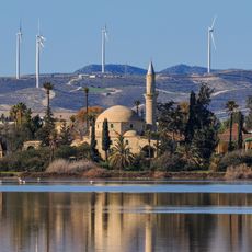
Hala Sultan Tekke
10.9 km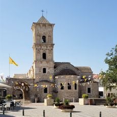
Church of Saint Lazarus, Larnaca
14.3 km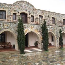
Stavrovouniklooster
8.2 km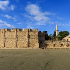
Kasteel van Larnaca
14.5 km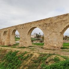
Bekir Pasha Aquaduct
11.7 km
Mazotos Camel Park
4.4 km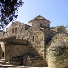
Panagia tis Angeloktistis
6.1 km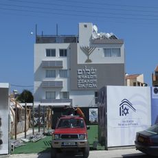
Larnaca Synagogue
14.2 km
Pierides Museum
14.7 km
Larnaca District Archaeological Museum
14.7 km
Mackenzie Beach
13.4 km
Kastella
13.9 km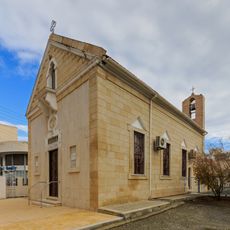
Sourp Stepanos
14.6 km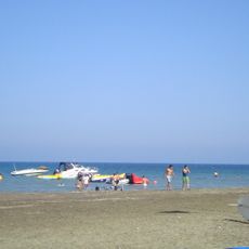
Faros Beach
9.2 km
Archeologisch museum Larnaca
14.7 km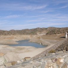
Dipotamos Reservoir
13.5 km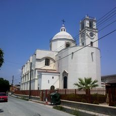
Terra Santa Our Lady of Grace Catholic Church
14.5 km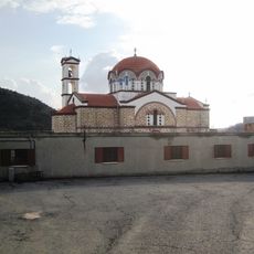
Panagidia Galaktotrofousaklooster
11.4 km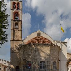
Cathedral of the Holy Transfiguration of the Savior
14.2 km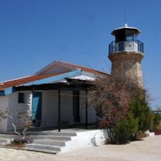
Cape Kiti Lighthouse
9.3 km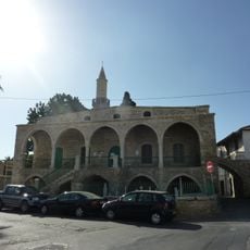
Djami Kebir mosque
14.4 km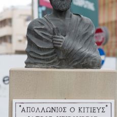
Monument of Apollonios of Kition
14.5 km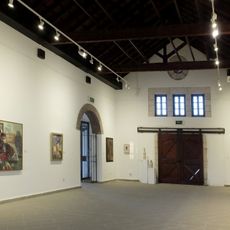
Municipal Art Gallery Larnaka
14.9 km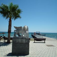
Venetian Lion Statue in Larnaca
14.5 km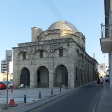
Zachouri Mosque
14.4 km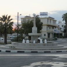
Artemis Fountain in Larnaca
14 km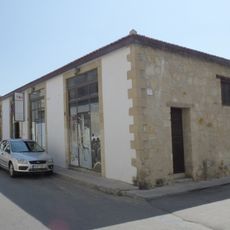
Apothikes
14.3 km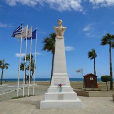
Kimon seafront promenade
14.8 kmBeoordelingen
Heeft u deze plek bezocht? Tik op de sterren om een beoordeling te geven en uw ervaring of foto's te delen met de community! Probeer het nu! U kunt het op elk moment annuleren.
Ontdek verborgen schatten op elk avontuur!
Van karakteristieke kleine cafeetjes tot geheime uitzichtpunten – ontvlucht de drukte en vind plekken die echt bij jou passen. Onze app maakt het makkelijk: spraakzoekopdrachten, slimme filters, geoptimaliseerde routes en authentieke tips van reizigers wereldwijd. Download nu en beleef het avontuur op je smartphone!

Een nieuwe benadering van toeristische ontdekking❞
— Le Figaro
Alle plekken die de moeite waard zijn om te ontdekken❞
— France Info
Een uitstapje op maat in slechts een paar klikken❞
— 20 Minutes