
Autograph Cliff, cliff in Cimarron County, Oklahoma, United States of America
Locatie: Cimarron County
Hoogte boven de zeespiegel: 1.257 m
GPS-coördinaten: 36.83250,-102.64944
Laatste update: 8 mei 2025 om 15:46
Black Mesa
67.9 km
Rita Blanca National Grassland
44.6 km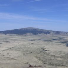
Sierra Grande
110.3 km
Black Mesa State Park
20.6 km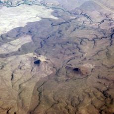
Rabbit Ears
57.9 km
Clayton Lake State Park
65.1 km
Picture Canyon
21.6 km
Texhomex
48.5 km
8 Mile Corner
56.9 km
Cimarron County Courthouse
16.7 km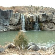
Folsom Falls
109.8 km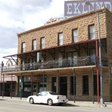
Eklund Hotel
63.9 km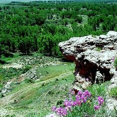
Point of Rocks
70 km
Luna Theater
64 km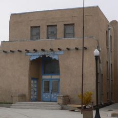
Clayton Public Library
63.8 km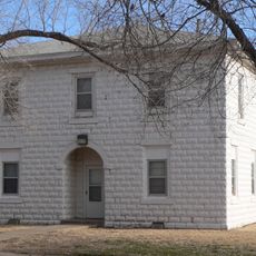
Franklin Hall
94.3 km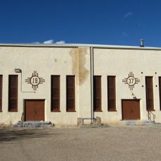
Amistad Gymnasium
111.3 km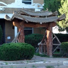
Gate, Fence and Hollow Tree Shelter Designed by Dionicio Rodriguez
63.6 km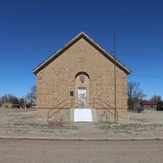
Springfield Schoolhouse
64 km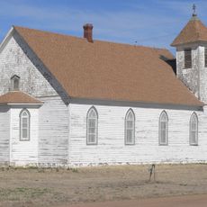
Stonington First Methodist-Episcopal Church
65.8 km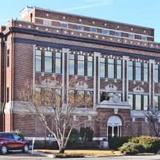
Texas County Courthouse
105.5 km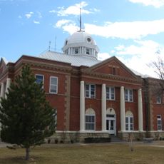
Union County Courthouse
64.2 km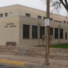
Clayton Public Schools Historic District
63.5 km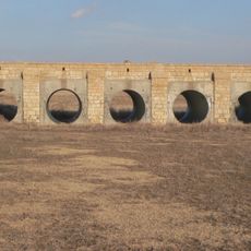
Morton County WPA Bridge
85.9 km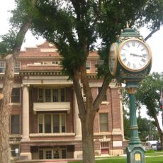
Dallam County Courthouse
86.6 km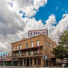
Eklund Hotel Historic Site
63.9 km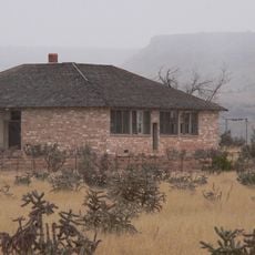
Goodson Memorial School
40.5 km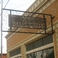
XIT Museum
86.6 kmBeoordelingen
Heeft u deze plek bezocht? Tik op de sterren om een beoordeling te geven en uw ervaring of foto's te delen met de community! Probeer het nu! U kunt het op elk moment annuleren.
Ontdek verborgen schatten op elk avontuur!
Van karakteristieke kleine cafeetjes tot geheime uitzichtpunten – ontvlucht de drukte en vind plekken die echt bij jou passen. Onze app maakt het makkelijk: spraakzoekopdrachten, slimme filters, geoptimaliseerde routes en authentieke tips van reizigers wereldwijd. Download nu en beleef het avontuur op je smartphone!

Een nieuwe benadering van toeristische ontdekking❞
— Le Figaro
Alle plekken die de moeite waard zijn om te ontdekken❞
— France Info
Een uitstapje op maat in slechts een paar klikken❞
— 20 Minutes