Bad Rapids, watergang in Canada
Locatie: Alberta
Hoogte boven de zeespiegel: 493 m
GPS-coördinaten: 57.10020,-114.61901
Laatste update: 18 maart 2025 om 12:09
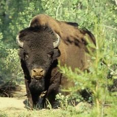
Nationaal park Wood Buffalo
271.6 km
McMurray Formation
198.6 km
Clearwater Formation
220.4 km
Dunvegan Provincial Park
277 km
Gregoire Lake Provincial Park
220.4 km
Sir Winston Churchill Provincial Park
301.5 km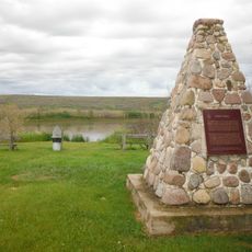
Fort Fork
205.1 km
Bluesky Formation
245.1 km
Chinchaga Wildland Provincial Park
298 km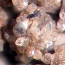
Dunvegan Formation
279.2 km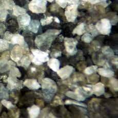
Peace River Formation
194 km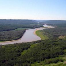
Peace River Wildland Provincial Park
229.5 km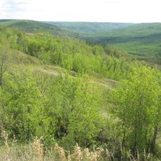
Greene Valley Provincial Park
192.1 km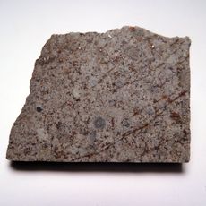
Peace River meteorite
229.7 km
Kaskapau Formation
279.5 km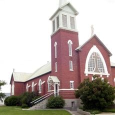
Cathedral of St. John the Baptist
209.2 km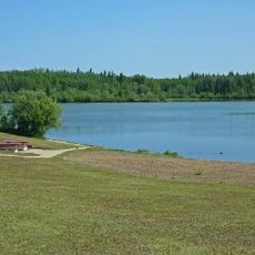
Figure Eight Lake Provincial Recreation Area
219.5 km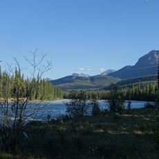
La Biche River
268.7 km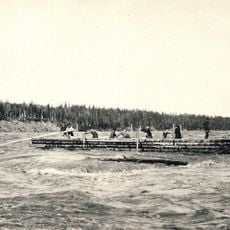
Vermilion Chutes
142.2 km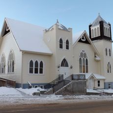
Athabasca United Church
277.8 km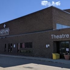
Keyano Theatre & Arts Centre
203.3 km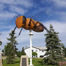
Worlds Largest Bee
220 km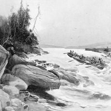
Grand Rapids
150.2 km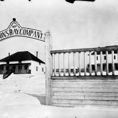
Fort Chipewyan III
272.6 km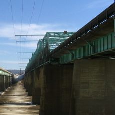
Grant MacEwan Bridge
199.9 km
Enilda Mud Bowl
214.5 km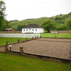
Factor’s House
277.6 km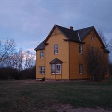
Fort Vermilion
166 kmBeoordelingen
Heeft u deze plek bezocht? Tik op de sterren om een beoordeling te geven en uw ervaring of foto's te delen met de community! Probeer het nu! U kunt het op elk moment annuleren.
Ontdek verborgen schatten op elk avontuur!
Van karakteristieke kleine cafeetjes tot geheime uitzichtpunten – ontvlucht de drukte en vind plekken die echt bij jou passen. Onze app maakt het makkelijk: spraakzoekopdrachten, slimme filters, geoptimaliseerde routes en authentieke tips van reizigers wereldwijd. Download nu en beleef het avontuur op je smartphone!

Een nieuwe benadering van toeristische ontdekking❞
— Le Figaro
Alle plekken die de moeite waard zijn om te ontdekken❞
— France Info
Een uitstapje op maat in slechts een paar klikken❞
— 20 Minutes