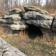
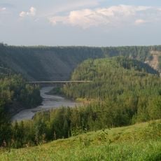
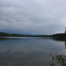
Bearhole Lake Provincial Park and Protected Area, provincial park in British Columbia, Canada
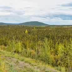
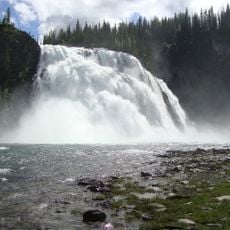
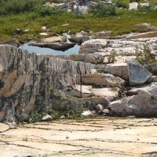
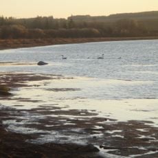
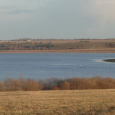
Bearhole Lake Provincial Park is een beschermd gebied in Brits-Columbia met meer dan tienduizend hectare bos en wetland. Het landschap bestaat uit witte en zwarte sparbossen, het centrale meer en moerassen.
Het gebied werd in 2001 als beschermd gebied ingesteld door de Brits-Columbiaanse provincialeregering. Het vertegenwoordigt onderdeel van een breder streven om de boreale bosregio en historisch door First Nations gebruikte landen te behouden.
Het meer en de omringende bossen houden sterke verbindingen met inheemse tradities van lokale First Nations gemeenschappen. Deze culturele betekenis blijft belangrijk voor het gebied.
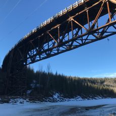
Het park ligt ongeveer 25 kilometer ten oosten van Tumbler Ridge en is het hele jaar geopend, hoewel de toegangsweg in de winter niet wordt geruimd en na regen modderig wordt. Controleer de wegomstandigheden voor u reist.
Trompetschwanen broeden in de wetlands en zijn verlegen tijdens het broedseizoen, wat afstand van bezoekers vereist. Dit park is een van de weinige plaatsen waar deze grote zwanen in hun natuurlijke omgeving kunnen worden gezien.
De community van nieuwsgierige reizigers
AroundUs brengt duizenden geselecteerde plaatsen, lokale tips en verborgen pareltjes samen, dagelijks verrijkt door meer dan 60,000 bijdragers wereldwijd.