
Forsyth, Montana
Locatie: Rosebud County
Ontstaan: 1876
Hoogte boven de zeespiegel: 769 m
Website: http://forsythmt.com
GPS-coördinaten: 46.26670,-106.67800
Laatste update: 13 april 2025 om 14:39
Lewis and Clark National Historic Trail
106.8 km
Fort Keogh
62.2 km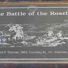
Rosebud Battlefield State Park
118 km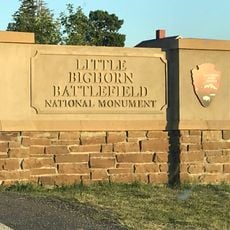
Little Bighorn Battlefield National Monument
96.8 km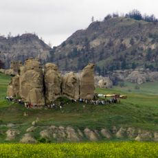
Deer Medicine Rocks
63.7 km
Wolf Mountains Battlefield
109.2 km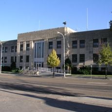
Main Street Historic District
65.7 km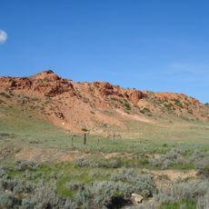
Terry Badlands WSA
120.9 km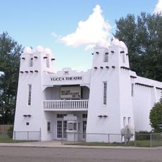
Yucca Theatre
42.8 km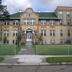
Holy Rosary Hospital
66.7 km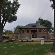
Miles City Waterworks Building and Pumping Plant Park
64.2 km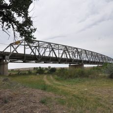
Powder River Bridge
109.1 km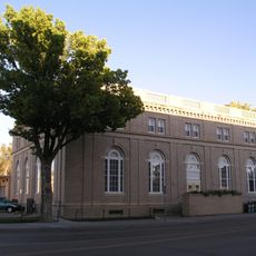
Miles City Main Post Office
65.6 km
Ursuline Convent of the Sacred Heart
66.2 km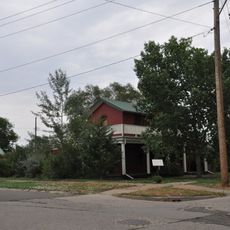
Walrond and Elizabeth Snell House
66.4 km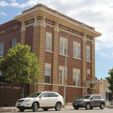
Mountain States Telephone and Telegraph Company Building
65.9 km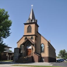
St. Joseph's Catholic Church
93 km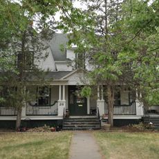
George M. Miles House
66.5 km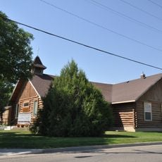
First Baptist Church
93.2 km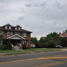
East Main Street Residential Historic District
66.7 km
William Harmon House
65.9 km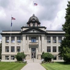
Rosebud County Courthouse
249 m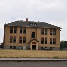
Grandey Elementary School
120.1 km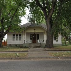
Thomas and Beulah Shore House
66.7 km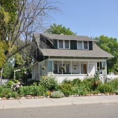
John Boyum House
93.3 km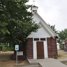
St. Philip's Episcopal Church
18.3 km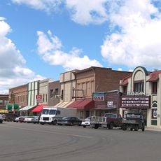
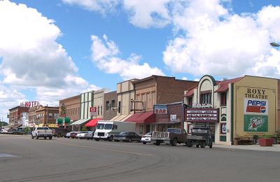
Forsyth Main Street Historic District
100 m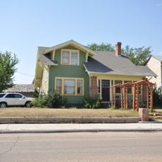
James J. Sullivan House
93.5 kmBeoordelingen
Heeft u deze plek bezocht? Tik op de sterren om een beoordeling te geven en uw ervaring of foto's te delen met de community! Probeer het nu! U kunt het op elk moment annuleren.
Ontdek verborgen schatten op elk avontuur!
Van karakteristieke kleine cafeetjes tot geheime uitzichtpunten – ontvlucht de drukte en vind plekken die echt bij jou passen. Onze app maakt het makkelijk: spraakzoekopdrachten, slimme filters, geoptimaliseerde routes en authentieke tips van reizigers wereldwijd. Download nu en beleef het avontuur op je smartphone!

Een nieuwe benadering van toeristische ontdekking❞
— Le Figaro
Alle plekken die de moeite waard zijn om te ontdekken❞
— France Info
Een uitstapje op maat in slechts een paar klikken❞
— 20 Minutes