American Falls, Idaho
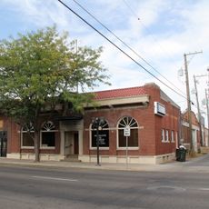
American Falls is een kleine stad in Power County in zuidoost-Idaho gelegen naast de Snake River en het American Falls Reservoir. Het dient als zetel van de county en biedt basisvoorzieningen inclusief overheidsinstallaties, lokale bedrijven en familierestaurants.
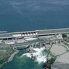
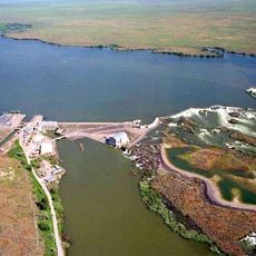
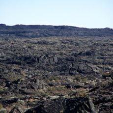
Verkenners zoals Wilson Price Hunt en John C. Fremont bezochten de watervallen in het gebied tijdens hun expedities naar het westen. De originele stad verhuisde in 1925 om de bouw van een dam mogelijk te maken die elektriciteit aan de regio leverde.
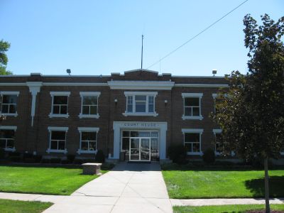
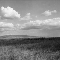
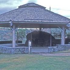
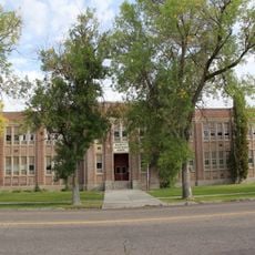
American Falls is het administratieve centrum van Power County en bepaalt het lokale gemeenschapsleven. De plaats weerspiegelt het dagelijkse landelijk leven waar landbouw en riviertradities centraal staan in hoe mensen samenkomen.
De stad is gemakkelijk bereikbaar via staatsroutes en ligt langs reisroutes door Idaho. Bezoekers vinden parkeerruimte en toegang tot lokale diensten inclusief politie- en brandweerstations plus basisvoorzieningen.
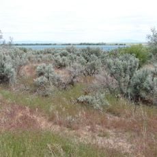
De stad is vernoemd naar Amerikaanse trappeurs die met hun bootje over de watervallen gingen. Dit gebeurde uit het verleden blijft onderdeel van de identiteit van het dorp en geeft de plek zijn onderscheidende naam.
De community van nieuwsgierige reizigers
AroundUs brengt duizenden geselecteerde plaatsen, lokale tips en verborgen pareltjes samen, dagelijks verrijkt door meer dan 60,000 bijdragers wereldwijd.